Dabbayra
Shield volcano · Ethiopia · 1302m
- Type
- Shield volcano
- Country
- Ethiopia
- Region
- Eastern Africa / Afar Rift Volcanic Province
- Elevation
- 1302m
- Coordinates
- 12.380, 40.070
- Last eruption
- Unknown
- Tectonic setting
- Rift zone / Intermediate crust (15-25 km)
- Landform
- Shield
- Major rock type
- Basalt / Picro-Basalt
Geological summary
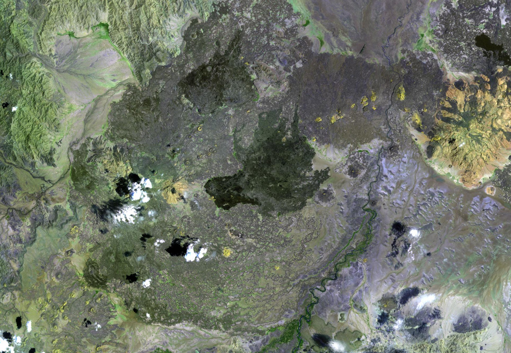
Dabbayra, the westernmost volcano of the Afar depression, was constructed along an offshoot of the Ethiopian escarpment, SW of the Teru plain. In contrast to structural trends in other parts of Afar, Dabbayra (also known as Bar-Ali) consists of a basaltic shield volcano elongated ENE-WSW. The only silicic volcanic rocks are a NNW-trending line of lava domes and lava flows near the crest of the volcano.
Eruption history
Detailed timeline
No eruption records available.
External links
- Not yet on Wikipedia (English). You can contribute on Wikidata.
- 🔗 Smithsonian GVP source page
⚠ For reference only. Not for emergency response.