Liado
Liado Hayk
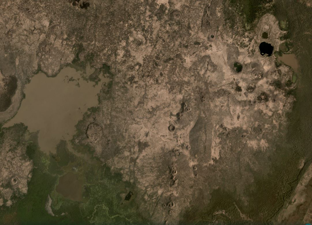
Volcanic field · Ethiopia · 878m
- Type
- Volcanic field
- Country
- Ethiopia
- Region
- Eastern Africa / Main Ethiopian Rift Volcanic Province
- Elevation
- 878m
- Coordinates
- 9.570, 40.280
- Last eruption
- Unknown
- Tectonic setting
- Rift zone / Continental crust (> 25 km)
- Landform
- Cluster
- Major rock type
- No Data (checked)
Geological summary
The Liado Hayk (Liado Lake) volcanic field consists of a dozen closely spaced maars and cinder cones with associated lava fields in the Awash plain NE of Dofen volcano. The morphology of the cones and maars suggested a late Pleistocene or Holocene age (Wood, 1979 p.c.).
Eruption history
Detailed timeline
No eruption records available.
External links
- Not yet on Wikipedia (English). You can contribute on Wikidata.
- 🔗 Smithsonian GVP source page
⚠ For reference only. Not for emergency response.