Dofan
Dofen
Shield volcano · Ethiopia · 1151m
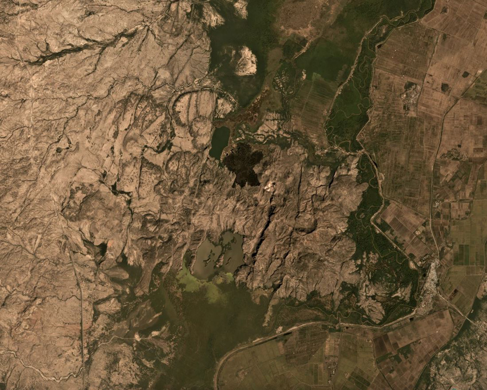
- Type
- Shield volcano
- Country
- Ethiopia
- Region
- Eastern Africa / Main Ethiopian Rift Volcanic Province
- Elevation
- 1151m
- Coordinates
- 9.350, 40.130
- Last eruption
- Unknown
- Tectonic setting
- Rift zone / Continental crust (> 25 km)
- Landform
- Shield
- Major rock type
- Rhyolite
Geological summary
The Dofen shield volcano rises 450 m above the Awash plain in the northern Main Ethiopian Rift. Numerous cinder cones, constructed along a 10-km-long, N-S-trending line, occur on the flanks of the dominantly rhyolitic volcano. The northern cones are younger, have well-preserved morphologies, and display strong fumarolic activity. A major fumarole in a wide S-flank crater has precipitated large amounts of sulfur. The latest eruptions occurred during the Holocene (WoldeGabriel 1987, pers. comm.), and it is known as the "smoking mountain".
Eruption history
Detailed timeline
No eruption records available.
External links
⚠ For reference only. Not for emergency response.