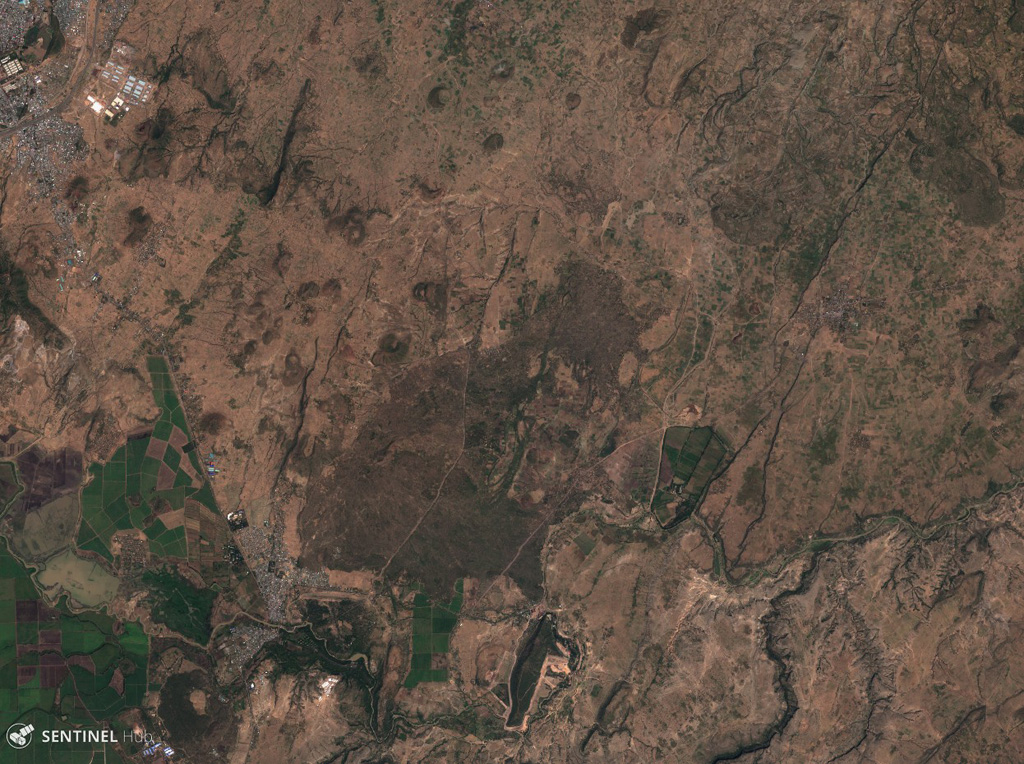
Sodore
Melkassa
Volcanic field · Ethiopia · 1765m
- Type
- Volcanic field
- Country
- Ethiopia
- Region
- Eastern Africa / Main Ethiopian Rift Volcanic Province
- Elevation
- 1765m
- Coordinates
- 8.430, 39.350
- Last eruption
- Unknown
- Tectonic setting
- Intraplate / Continental crust (> 25 km)
- Landform
- Cluster
- Major rock type
- Basalt / Picro-Basalt
Geological summary
The Melkassa (or Sodore) volcanic field is an extensive 15 x 25 km group of about 30 Pleistocene and Holocene pyroclastic cones and lava flows that covers the floor of the E side of the Ethiopian Rift Valley, around the town of Melkassa, between the Boset volcanic complex and Gedamsa caldera.
Eruption history
Detailed timeline
No eruption records available.
External links
- Not yet on Wikipedia (English). You can contribute on Wikidata.
- 🔗 Smithsonian GVP source page
⚠ For reference only. Not for emergency response.