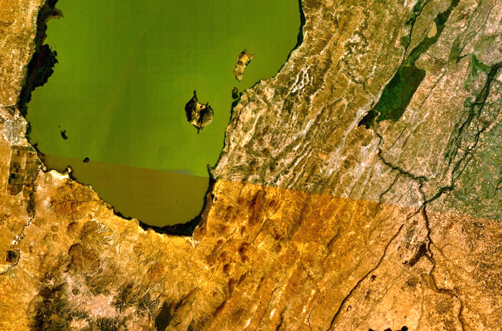
East Zway
East Ziway
Fissure vent · Ethiopia · 1889m
- Type
- Fissure vent
- Country
- Ethiopia
- Region
- Eastern Africa / Main Ethiopian Rift Volcanic Province
- Elevation
- 1889m
- Coordinates
- 7.874, 38.902
- Last eruption
- Unknown
- Tectonic setting
- Rift zone / Continental crust (> 25 km)
- Landform
- Cluster
- Major rock type
- Basalt / Picro-Basalt
Geological summary
A large area of basaltic cinder cones and lava flows lies within about 5 km of the SE shore of Lake Ziway, and also forms islands along its E shore. About 80 vents were formed along the East Ziway segment of the Wonji Fault Belt. The youngest lava flows have been unaffected by the latest tectonic faulting along the Ethiopian Rift.
Eruption history
Detailed timeline
No eruption records available.
External links
- Not yet on Wikipedia (English). You can contribute on Wikidata.
- 🔗 Smithsonian GVP source page
⚠ For reference only. Not for emergency response.