Northern Lake Abaya Volcanic Field
Volcanic field · Ethiopia · 1594m
- Type
- Volcanic field
- Country
- Ethiopia
- Region
- Eastern Africa / Main Ethiopian Rift Volcanic Province
- Elevation
- 1594m
- Coordinates
- 6.760, 37.970
- Last eruption
- Unknown
- Tectonic setting
- Intraplate / Continental crust (> 25 km)
- Landform
- Cluster
Geological summary
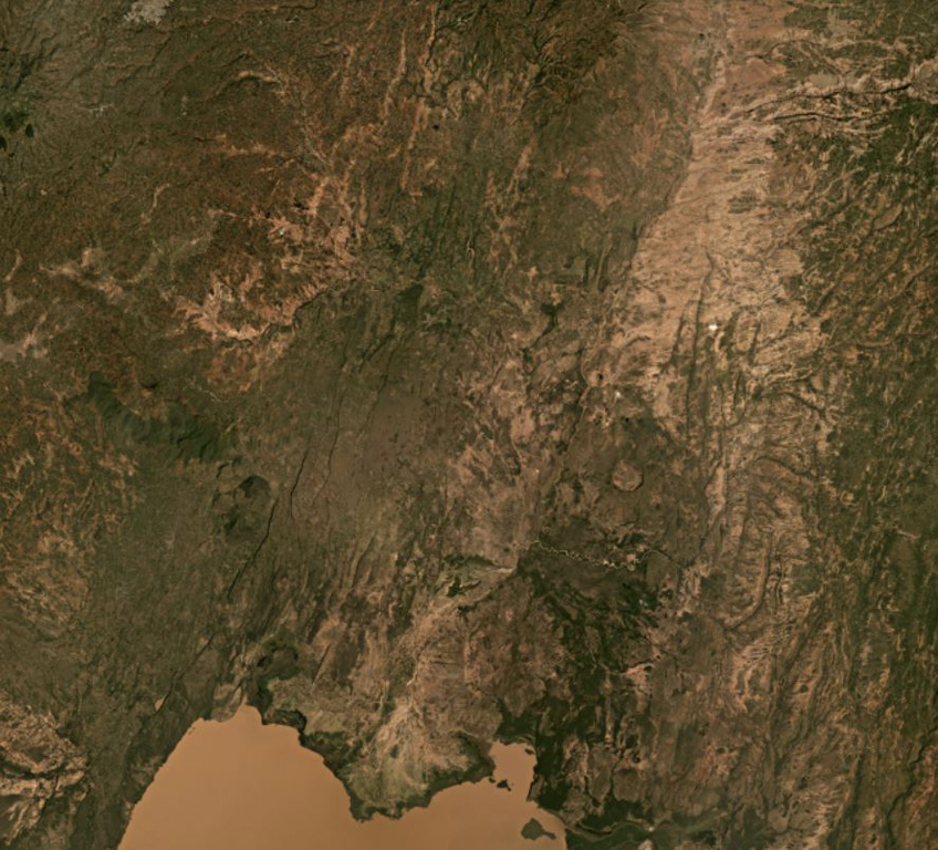
The Northern Lake Abaya volcanic field consists primarily of small Quaternary cones and basaltic lava flows between Doguna volcano to the north, Chericha to the E, Lake Abaya to the south, and the Hobitcha caldera to the west. The 3.5-km-long rhyolitic dome area immediately SE of the Hobitcha caldera trachytic ridge includes recent obsidian flows from vents at Hako and Salewa Dore (Corti et al., 2013).
Eruption history
Detailed timeline
No eruption records available.
External links
- Not yet on Wikipedia (English). You can contribute on Wikidata.
- 🔗 Smithsonian GVP source page
⚠ For reference only. Not for emergency response.