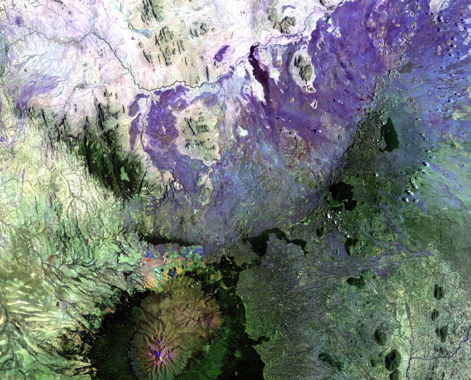
Nyambeni Hills

Shield volcano · Kenya · 750m

The broad NE-SW-trending Nyambeni Hills shield volcano cuts diagonally across this NASA Landsat image from the center to the upper right. It is located NE of the eroded Pleistocene Mount Kenya volcano (lower left) and is capped by numerous phonolitic lava domes and basaltic cones and lava flows. The basaltic scoria cones are the youngest features of Nyambeni Hills volcano and are clustered in a NE-trending belt along the crest of the shield and in N-S-trending areas on its flanks.
The broad NE-SW-trending Nyambeni Hills shield volcano cuts diagonally across this NASA Landsat image from the center to the upper right. It is located NE of the eroded Pleistocene Mount Kenya volcano (lower left) and is capped by numerous phonolitic lava domes and basaltic cones and lava flows. The basaltic scoria cones are the youngest features of Nyambeni Hills volcano and are clustered in a NE-trending belt along the crest of the shield and in N-S-trending areas on its flanks. · Photo: NASA Landsat image, 1999 (courtesy of Hawaii Synergy Project, Univ. of Hawaii Institute of Geophysics & Planetology).
Type
Shield volcano
Country
Kenya
Region
Eastern Africa Volcanic Regions / Kenyan Rift Volcanic Province
Elevation
750m
Coordinates
0.230, 37.870
Last eruption
Unknown
Tectonic setting
Rift zone / Continental crust (> 25 km)
Landform
Shield
Major rock type
Basalt / Picro-Basalt
Geological summary

The broad NE-SW-trending Nyambeni shield volcano is capped by numerous phonolitic lava domes, basaltic cones, and lava flows of late-Pleistocene to Holocene age (Hackman et al., 1989). The basaltic cinder cones are the youngest features. They are clustered in a NE-trending belt along the crest of the shield, in a N-S-trending area including the Mula Hills, and in the Giaki area.

Eruption history

Detailed timeline

No eruption records available.

External links

⚠ For reference only. Not for emergency response.