Kyejo
Stratovolcano · Tanzania · 2176m
- Type
- Stratovolcano
- Country
- Tanzania
- Region
- Eastern Africa / Rukwa Rift Volcanic Province
- Elevation
- 2176m
- Coordinates
- -9.229, 33.792
- Last eruption
- 1800
- Tectonic setting
- Rift zone / Continental crust (> 25 km)
- Landform
- Composite
- Major rock type
- Trachyte / Trachydacite
Geological summary
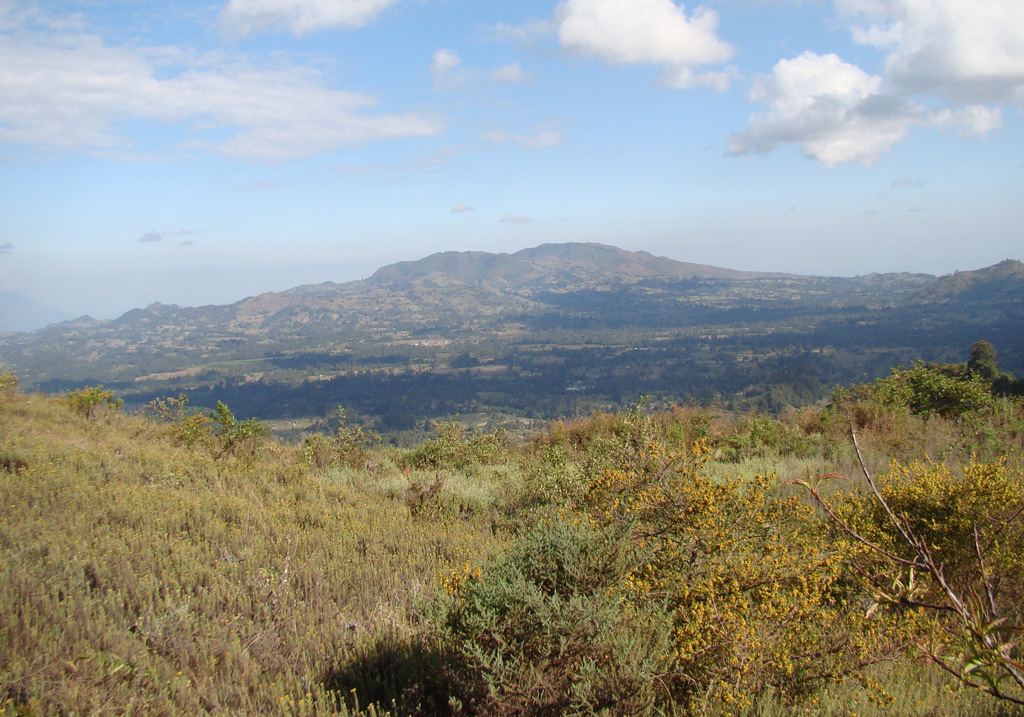
Late-stage activity of the Kyejo (Kieyo) trachytic stratovolcano, NW of Lake Malawi (Lake Nyassa), consisted of the formation of numerous maars and cinder cones. This stratovolcano is elongated in a NW-SE direction and has been active since the mid-Pleistocene. Maars, some of which contain lakes, surround the area, and young basaltic cinder cones and lava flows cover an extensive area to the south. The latest eruption around 1800 CE took place from two tephritic cones, Sarabwe and Fiteko, that were constructed along a NW-trending fissure. The eruption produced lava flows that traveled 8 km and overran several villages.
From Wikipedia
Kyejo is an active stratovolcano in the Rukwa Rift Basin of Tanzania. It is located northwest of Lake Malawi. Eruptions at Kyejo are typically effusive although some moderately-sized explosions occur at its summit. Its numerous parasitic cones, a combination of spatter and cinder cones, are mostly distributed along its southern flanks. Volcanic activity in the area initiated during the mid-Pleistocene. Its last eruption was dated to around 1800 and is the only historically documented eruption on Kyejo. This eruption occrred at the Sarabwe and Fiteko parasitic cones along a northwest trending fissure at its northwestern slope. The three-day eruption produced lava flows that travelled 8 km (5.0 mi).
Wikipedia · CC BY-SA · Read full article →
Eruption history
Detailed timeline
- 1800VEI 2Observed1800-07-02 – OngoingSarabwe and Fiteko
External links
⚠ For reference only. Not for emergency response.