Fort Portal
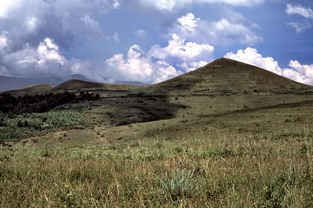
Fort Portal Volcanic Field
Volcanic field · Uganda · 1615m
- Type
- Volcanic field
- Country
- Uganda
- Region
- Eastern Africa / Albertine Rift Volcanic Province
- Elevation
- 1615m
- Coordinates
- 0.700, 30.250
- Last eruption
- -2120
- Tectonic setting
- Rift zone / Continental crust (> 25 km)
- Landform
- Cluster
- Major rock type
- Foidite
Geological summary
The carbonatite lavas and tuffs of the Fort Portal Volcanic Field in Uganda, NE of Mount Ruwenzori between Lake Albert and Lake Edward, consists of a group of tuff cones and maars covering an area of about 145 km2. About 50 volcanic vents, some of which now contain crater lakes, were erupted through Precambrian gneiss in an WSW-ENE-trending area north of the town of Fort Portal. Several additional vents are located in the Kasekere (Rusekere) area to the NE. Radiocarbon dates of about 4,700-4,000 years ago were obtained from ash deposits in the volcanic field. Holmes (1950) noted that Kasensankaranga Crater in the Fort Portal area means "spewer of roasted material," implying observed activity.
Eruption history
Detailed timeline
- 2120 BCE (±100 yrs)VEI ?Geological estimateBCE 2120 – Ongoing
- 2750 BCE (±75 yrs)VEI ?Geological estimateBCE 2750 – Ongoing
External links
- Not yet on Wikipedia (English). You can contribute on Wikidata.
- 🔗 Smithsonian GVP source page
⚠ For reference only. Not for emergency response.