Managlase Plateau
Volcanic field · Papua New Guinea · 1342m
- Type
- Volcanic field
- Country
- Papua New Guinea
- Region
- Southwestern Pacific / Trobriand Volcanic Province
- Elevation
- 1342m
- Coordinates
- -9.080, 148.330
- Last eruption
- Unknown
- Tectonic setting
- Subduction zone / Continental crust (> 25 km)
- Landform
- Cluster
- Major rock type
- Trachybasalt / Tephrite Basanite
Geological summary
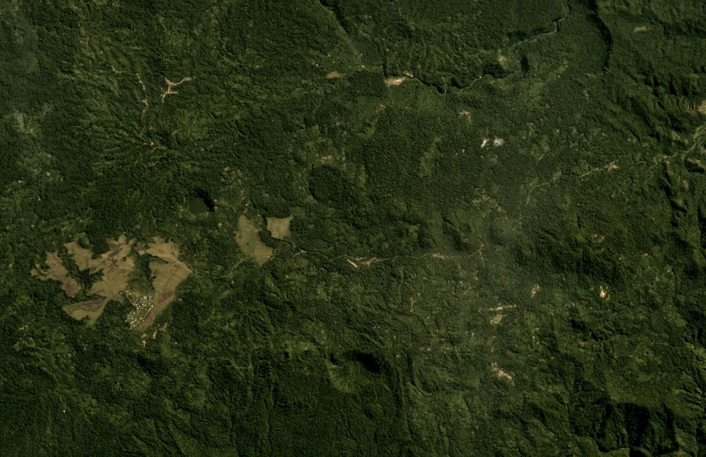
Thirty small volcanic centers of late-Pleistocene to Holocene age are located in SE Papua New Guinea on the Managlase Plateau, south of the Hydrographers Range and SW of the Dyke Ackland Bay. The fault-bounded plateau forms a triangular-shaped area with trachybasaltic lava cones and flows, scoria mounds, cinder cones, and explosion vents of the Uoivi Volcanics, and capped on its eastern side by rhyodacitic ash cones, lava domes, and ashflow deposits of the Manna Volcanics. The date of the most recent eruption is not known, but the trachybasaltic Kururui cinder cone and a nearby explosion crater were active within memory of nearby residents (Ruxton, 1966).
Eruption history
Detailed timeline
No eruption records available.
External links
- Not yet on Wikipedia (English). You can contribute on Wikidata.
- 🔗 Smithsonian GVP source page
⚠ For reference only. Not for emergency response.