Iamalele
Lava dome · Papua New Guinea · 194m
- Type
- Lava dome
- Country
- Papua New Guinea
- Region
- Southwestern Pacific / Trobriand Volcanic Province
- Elevation
- 194m
- Coordinates
- -9.506, 150.524
- Last eruption
- Unknown
- Tectonic setting
- Subduction zone / Continental crust (> 25 km)
- Landform
- Cluster
- Major rock type
- Andesite / Basaltic Andesite
Geological summary
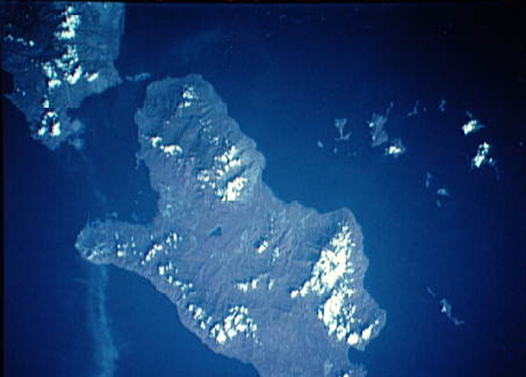
Multiple volcanic features and active thermal areas are located on the SW part of Fergusson Island, in the center of the D'Entrecasteaux island group. The Iamalele-Fagululu area contains a series of lava domes and lava flows of probable Holocene age in association with abundant hot springs and fumaroles (Smith, 1981). Two small lava domes are located near Fagululu village, the larger of which is a flat-topped, obsidian-bearing rhyolitic dome. Six other lava domes are clustered around Salt Lake on the W side of the area. Hot springs, boiling springs, fumaroles, and mud pools are found in an area of siliceous sinter near Iamalele village.
Eruption history
Detailed timeline
No eruption records available.
External links
- Not yet on Wikipedia (English). You can contribute on Wikidata.
- 🔗 Smithsonian GVP source page
⚠ For reference only. Not for emergency response.