Takuan Group
Compound volcano · Papua New Guinea · 2210m
- Type
- Compound volcano
- Country
- Papua New Guinea
- Region
- Southwestern Pacific / Bougainville Volcanic Arc
- Elevation
- 2210m
- Coordinates
- -6.442, 155.608
- Last eruption
- Unknown
- Tectonic setting
- Subduction zone / Crustal thickness unknown
- Landform
- Composite
- Major rock type
- Andesite / Basaltic Andesite
Geological summary
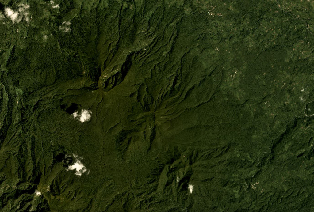
The Takuan volcano group in southern Bougainville Island consists of three closely spaced, NW-SE-trending andesitic-dacitic stratovolcanoes. Two of these are relatively uneroded and have probably been active during the Holocene, and a third, extensively eroded volcano is probably Pleistocene in age (Blake and Meizitis, 1967). Along with Loloru volcano, the Takuan volcanoes are post-caldera cones constructed along the rim of the Pleistocene Laluai caldera. The 2210-m NW-most volcano, Mount Takuan, is the highest of the group and is a lava cone that has fed viscous lavas flows to the south, similar to those at Bagana volcano. The central volcano contains a large lava dome in its breached summit crater; this dome may represent the most recent activity of the Takuan volcano group. Older, but still well-preserved lava flows are found on the flanks of this volcano.
From Wikipedia
Takuan Group is a volcanic group located in the southern part of Bougainville Island, Papua New Guinea. It consists of three closely spaced stratovolcanoes and lava cones, Mount Takuan being the highest of them.
Wikipedia · CC BY-SA · Read full article →
Eruption history
Detailed timeline
No eruption records available.
External links
⚠ For reference only. Not for emergency response.