Newer Volcanics Province
Volcanic field · Australia · 1011m
- Type
- Volcanic field
- Country
- Australia
- Region
- Eastern Australia / Southeastern Australia Volcanic Province
- Elevation
- 1011m
- Coordinates
- -37.770, 142.500
- Last eruption
- -2900
- Tectonic setting
- Intraplate / Continental crust (> 25 km)
- Landform
- Cluster
- Major rock type
- Trachybasalt / Tephrite Basanite
Geological summary
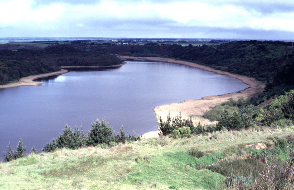
The voluminous Newer Volcanics Province covers a broad 15,000 km2 area of SE Australia with nearly 400 small shield volcanoes and explosive vents of Tertiary-to-Holocene age. Volumetrically the vast proportion of volcanic products consist of flat-lying lava flows, although the most prominent features of the volcanic field are the numerous small scoria cones, tuff rings, and maars that rise above the lava plain. Several vents were active during the Holocene; another vent (Mount Tower) is now considered to be of late-Pleistocene age. Late-Pleistocene to Holocene eruptions are characterized by small volume and low explosivity. The youngest dated eruptions took place at Mount Schank and Mount Gambier about 5,000 years ago, when explosive activity formed several maars and associated lava flows.
Eruption history
Detailed timeline
- 2900 BCE (±150 yrs)VEI ?Geological estimateBCE 2900 – OngoingMt. Gambier
- 3000 BCE (±500 yrs)VEI ?Geological estimateBCE 3000 – OngoingMt. Schank
- 5290 BCEVEI ?Geological estimateBCE 5290 – OngoingMt. Napier
- 5850 BCEVEI ?Geological estimateBCE 5850 – OngoingRed Rock
External links
⚠ For reference only. Not for emergency response.