Malintang
Stratovolcano · Indonesia · 1988m
- Type
- Stratovolcano
- Country
- Indonesia
- Region
- Sunda & Banda / Sunda Volcanic Arc
- Elevation
- 1988m
- Coordinates
- 0.476, 99.663
- Last eruption
- Unknown
- Tectonic setting
- Subduction zone / Continental crust (> 25 km)
- Landform
- Composite
- Major rock type
- Andesite / Basaltic Andesite
Geological summary
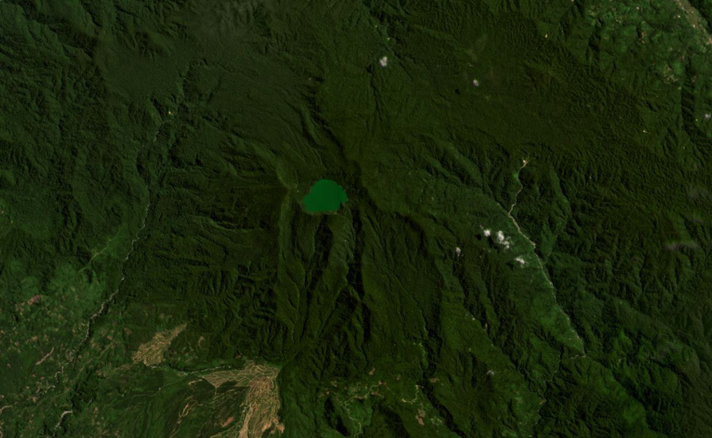
The broad forested Malintang andesitic-to-dacitic stratovolcano has an irregular summit crater with a 900 x 1,500 m lake. The flanks are relatively uneroded, and it most likely has had significant eruptions within the past few thousand years (Kieh, 2009 pers. comm.). The open caldera may be related to emplacement of a large debris avalanche.
Eruption history
Detailed timeline
No eruption records available.
External links
- Not yet on Wikipedia (English). You can contribute on Wikidata.
- 🔗 Smithsonian GVP source page
⚠ For reference only. Not for emergency response.