Mountain Patuha
Patuha
Stratovolcano · Indonesia · 2422m
- Type
- Stratovolcano
- Country
- Indonesia
- Region
- Sunda & Banda / Sunda Volcanic Arc
- Elevation
- 2422m
- Coordinates
- -7.162, 107.400
- Last eruption
- Unknown
- Tectonic setting
- Subduction zone / Continental crust (> 25 km)
- Landform
- Composite
- Major rock type
- Andesite / Basaltic Andesite
Geological summary
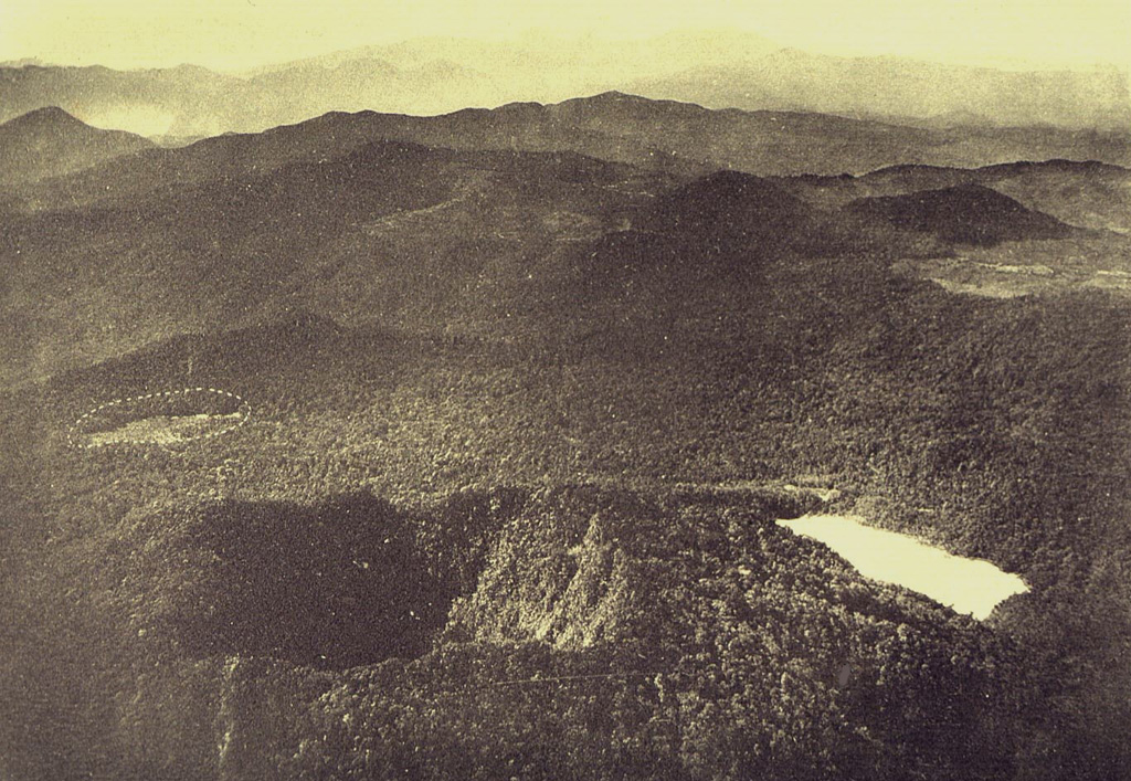
The forested andesitic Gunung Patuha rises SW of the plain of Bandung in western Java. Patuha is the northern peak of a roughly 5-km-long N-S volcanic massif, and has a 300 m crater at the summit. A few hundred meters down the SE flank is a 400 x 500 m crater almost completely filled with a shallow greenish lake, Kawah Putih. Sulfur deposits are present around the shoreline and near active fumaroles on the crater walls. A large debris-avalanche deposit extends down the NE flank. The volcano was formed during the late Pleistocene, but no Holocene eruptions are known.
Eruption history
Detailed timeline
No eruption records available.
External links
⚠ For reference only. Not for emergency response.