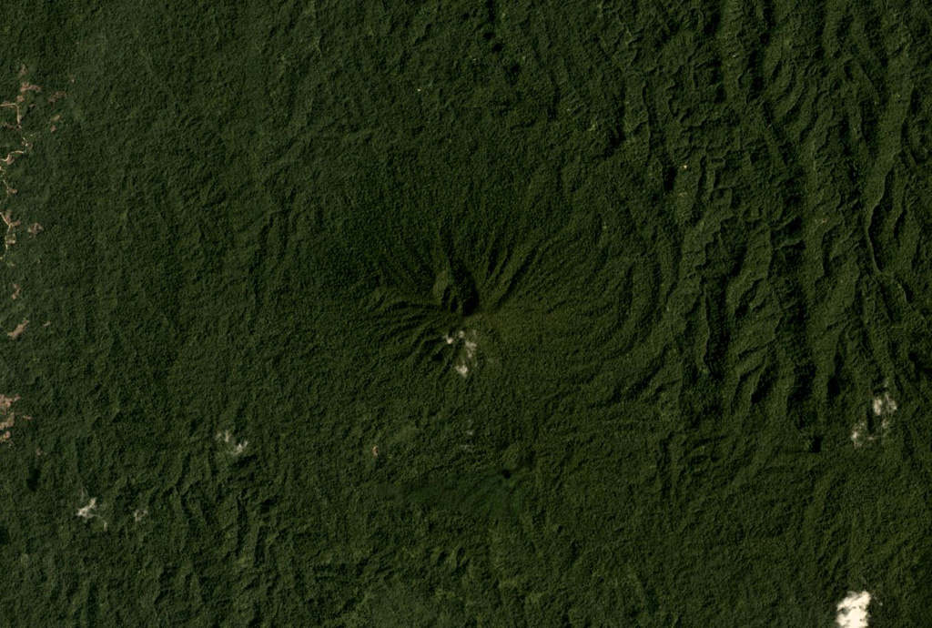
Tobaru
Stratovolcano · Indonesia · 1035m
- Type
- Stratovolcano
- Country
- Indonesia
- Region
- Western Pacific / Halmahera Volcanic Arc
- Elevation
- 1035m
- Coordinates
- 1.630, 127.670
- Last eruption
- Unknown
- Tectonic setting
- Subduction zone / Oceanic crust (< 15 km)
- Landform
- Composite
- Major rock type
- Andesite / Basaltic Andesite
Geological summary
Gunung Tobaru, also known as Lolodai, is located in northern Halmahera WSW of Dukono and NNE of Ibu. Supriatna (1980) mapped the little known andesitic volcano as Holocene.
Eruption history
Detailed timeline
No eruption records available.
External links
⚠ For reference only. Not for emergency response.