Hainan Dao Volcanic Field
Hainan Volcanic Field
Volcanic field · China · 196m
- Type
- Volcanic field
- Country
- China
- Region
- Eastern Asia / Southeast Asia Volcanic Province
- Elevation
- 196m
- Coordinates
- 19.905, 110.229
- Last eruption
- 1933
- Tectonic setting
- Intraplate / Continental crust (> 25 km)
- Landform
- Cluster
- Major rock type
- Basalt / Picro-Basalt
Geological summary
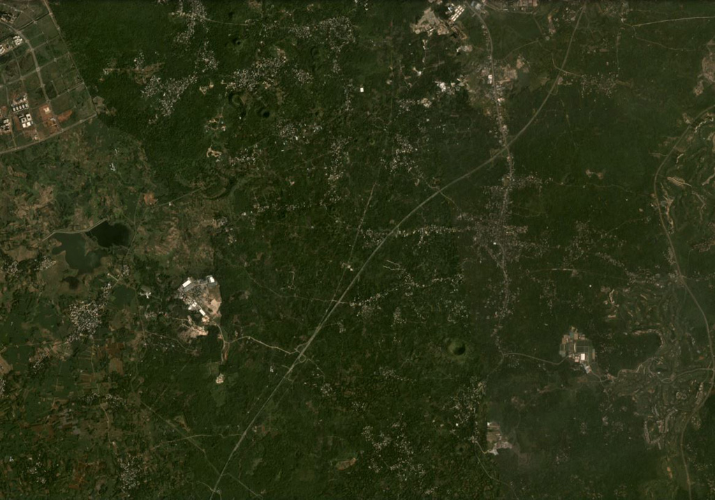
The Hainan volcanic field consists of Quaternary lava flows that extend over about 4,100 km2 of northern Hainan Island (also known as Qiong). This field, along with the Leizhou Bandao volcanic field across the Qiongzhou strait to the north on the Leizhou (Liuchow) Peninsula, forms the larger Leiqiong volcanic field (also called the Qionglei volcano group). As many as 58 cones and craters are still evident, primarily near the city of Hainan on the north-central coast of the island. Eruptions were reported in the Lingao and Chengmai areas in the 19th and 20th centuries. Leihuling and Maanshan, two of the best preserved volcanic cones, are oriented along an E-W fracture and are part of a cluster of about 30 cones in the Shishan and Yongzing regions. The Haikou Volcanic Cluster, part of the Leiqiong World Geopark, around the town of Shishan 15 km SE of Hainan city, includes 40 volcanic features.
Eruption history
Detailed timeline
- 1933VEI ?Observed1933-06-26 – 1933-07-08Nansheling ridge
- 1883VEI ?Observed1883-07-02 – OngoingLingao
External links
⚠ For reference only. Not for emergency response.