Fukue Volcano Group
Fukue
Volcanic field · Japan · 315m
- Type
- Volcanic field
- Country
- Japan
- Region
- Western Pacific / Nankai Volcanic Arc
- Elevation
- 315m
- Coordinates
- 32.657, 128.849
- Last eruption
- -400
- Tectonic setting
- Subduction zone / Continental crust (> 25 km)
- Landform
- Cluster
- Major rock type
- Basalt / Picro-Basalt
Geological summary
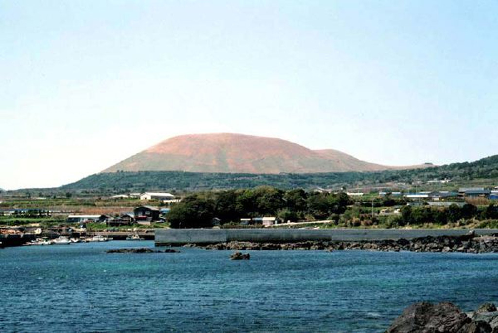
A group of small olivine basaltic shield volcanoes and cinder cones lies at the eastern end of Fukuejima in the Goto Islands off the western coast of Kyushu. Activity at the Fukue volcano group began about 900,000 years ago, and the latest activity took place about 2,000-3,000 years ago (Nakano et al., 2001-). The volcanic field, whose high point is the Onidake cinder cone (about 300 m elevation), forms peninsulas at the E and SE tips of Fukue Island as well as several smaller islands to the SE.
Eruption history
Summary (VEI over time)
Click a bar to see individual eruptions
Detailed timeline
- 400 BCEVEI ?Geological estimateBCE 400 – OngoingHino-take
External links
⚠ For reference only. Not for emergency response.