Kostakan
Pyroclastic cone · Russia · 1150m
- Type
- Pyroclastic cone
- Country
- Russia
- Region
- Northwestern Pacific / Eastern Kamchatka Volcanic Arc
- Elevation
- 1150m
- Coordinates
- 53.833, 158.052
- Last eruption
- 1350
- Tectonic setting
- Subduction zone / Continental crust (> 25 km)
- Landform
- Minor (Basaltic)
- Major rock type
- Basalt / Picro-Basalt
Geological summary
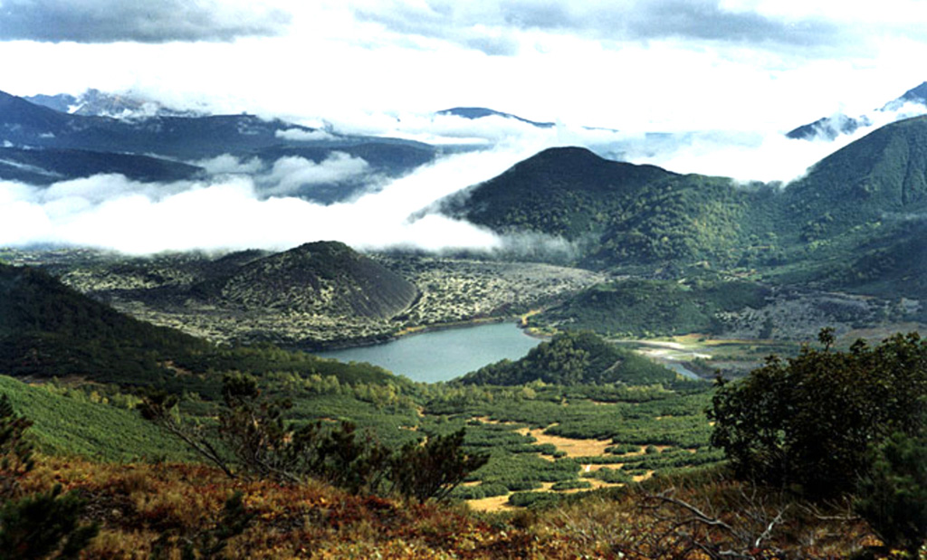
A group of basaltic cinder cones lies south of Bakening volcano, west of the Srednaya Avacha (Middle Avacha) river valley. They are part of a broad zone of regional late Pleistocene to Holocene basaltic volcanism west of the Eastern volcanic zone of Kamchatka that extends from the Kostakan Lake area to the south. Several of the cinder cones are breached by lava flows, some of which extend into the Srednaya Avacha valley. The highest-elevation vent, Zmeya crater, was constructed within a landslide scarp. An unnamed maar is located about 2 km S of Kostakan Lake. Eruptions have occurred during two time periods, between about 11,000 to 7,000 years ago and between about 1,200 and 600 years ago.
From Wikipedia
Kostakan is a north-south trending chain of cinder cones located in the southern part of the Kamchatka Peninsula, Russia.
Wikipedia · CC BY-SA · Read full article →
Eruption history
Detailed timeline
- 1350VEI 1Geological estimate1350 – OngoingGlavny
- 1200 (±50 yrs)VEI 2Geological estimate1200 – OngoingGlavny
- 1000 (±50 yrs)VEI 3Geological estimate1000 – OngoingSerpovidny
- 800 (±50 yrs)VEI 3Geological estimate800 – OngoingMaar S of Lake Kostakan, Krasny cone
- 6550 BCE (±500 yrs)VEI 3Geological estimateBCE 6550 – OngoingOchkovy
- 8050 BCE (±1000 yrs)VEI 3Geological estimateBCE 8050 – OngoingDomashnii
External links
⚠ For reference only. Not for emergency response.