Shisheika
Lava dome · Russia · 355m
- Type
- Lava dome
- Country
- Russia
- Region
- Northwestern Pacific / Central Kamchatka Volcanic Arc
- Elevation
- 355m
- Coordinates
- 57.153, 161.090
- Last eruption
- -2240
- Tectonic setting
- Subduction zone / Continental crust (> 25 km)
- Landform
- Minor (Basaltic)
- Major rock type
- Andesite / Basaltic Andesite
Geological summary
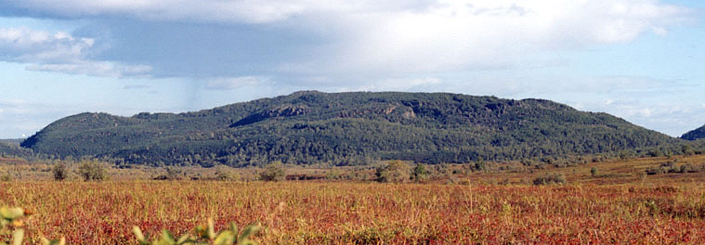
The andesitic Shisheika lava dome lies far to the west of the crest of the Sredinny Range, near the mouth of the Shishei River. The dome and associated lava flows were erupted about 4,200 years ago during one of several Holocene eruptions on the lower flanks of the Sredinny Range.
Eruption history
Summary (VEI over time)
Click a bar to see individual eruptions
Detailed timeline
- 2240 BCEVEI ?Geological estimateBCE 2240 – Ongoing
External links
- Not yet on Wikipedia (English). You can contribute on Wikidata.
- 🔗 Smithsonian GVP source page
⚠ For reference only. Not for emergency response.