Arshan
Arxan-Chaihe
Volcanic field · China · 1677m
- Type
- Volcanic field
- Country
- China
- Region
- Eastern Asia / Central East Asia Volcanic Province
- Elevation
- 1677m
- Coordinates
- 47.450, 120.800
- Last eruption
- 0
- Tectonic setting
- Intraplate / Continental crust (> 25 km)
- Landform
- Cluster
- Major rock type
- Basalt / Picro-Basalt
Geological summary
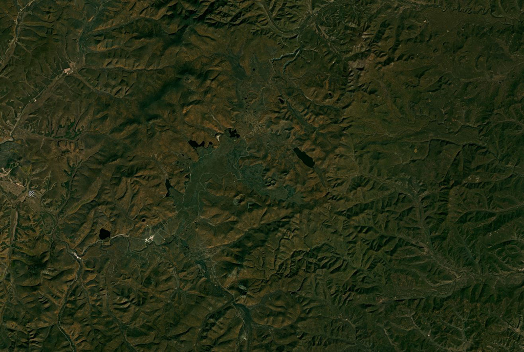
The Arxan-Chaihe Volcanic Field, in the central Da Hinggan Mountains of Inner Mongolia in NE China, contains at least 27 volcanic features. The youngest cones, including Yanshan and Gaoshan, produced basaltic lava flows that blocked drainages of the Halahale River and created six lava-dammed lakes. Radiocarbon dates from scoria deposits document eruptions about 2,000-1,900 years ago. The area has been designated as a National Geopark.
Eruption history
Summary (VEI over time)
Click a bar to see individual eruptions
Detailed timeline
- 0 (±150 yrs)VEI ?Geological estimate0 – Ongoing
External links
- Not yet on Wikipedia (English). You can contribute on Wikidata.
- 🔗 Smithsonian GVP source page
⚠ For reference only. Not for emergency response.