Southern EPR-Segment I
Southern EPR at 18.5°S (Segment I)
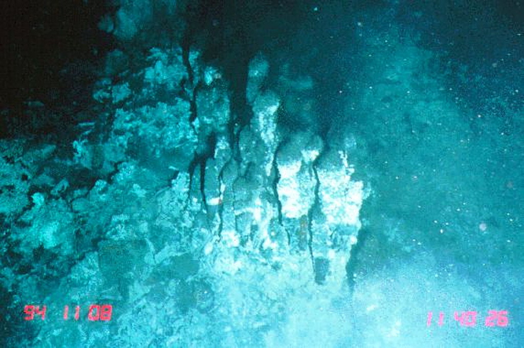
Fissure vent · Undersea Features · 2600m (submarine)
- Type
- Fissure vent
- Country
- Undersea Features
- Region
- Southern Pacific / Southern East Pacific Rise Volcanic Province
- Elevation
- 2600m (submarine)
- Coordinates
- -18.530, -113.420
- Last eruption
- 1915
- Tectonic setting
- Rift zone / Oceanic crust (< 15 km)
- Landform
- Cluster
- Major rock type
- Basalt / Picro-Basalt
Geological summary
The narrow axial crest of Segment I of the Southern East Pacific Rise in some places is less than 50 m wide. An axial dome is located along the southern part of the segment. The largest lava flow field in this segment is the Animal Farm flow, named after a thriving low-temperature hydrothermal site discovered during a submersible expedition in 1993. The Animal Farm lava flow was dated by magnetic paleointensity measurements at about 1880-1950 CE, and older flows were dated by similar techniques to the 17th and 19th centuries.
Eruption history
Summary (VEI over time)
Click a bar to see individual eruptions
Detailed timeline
- 1915 (±40 yrs)VEI 0Geological estimate1915-07-02 – Ongoing
- 1860VEI 0Geological estimate1860-07-02 – Ongoing
- 1620VEI 0Geological estimate1620 – Ongoing
External links
- Not yet on Wikipedia (English). You can contribute on Wikidata.
- 🔗 Smithsonian GVP source page
⚠ For reference only. Not for emergency response.