Romeral
Stratovolcano · Colombia · 3769m
- Type
- Stratovolcano
- Country
- Colombia
- Region
- South America / Northern Andean Volcanic Arc
- Elevation
- 3769m
- Coordinates
- 5.203, -75.363
- Last eruption
- -5390
- Tectonic setting
- Subduction zone / Continental crust (> 25 km)
- Landform
- Composite
- Major rock type
- Andesite / Basaltic Andesite
Geological summary
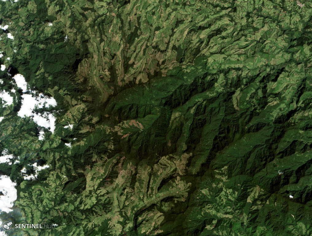
The andesitic-to-dacitic Romeral stratovolcano lies at the northern end of the Ruiz-Tolima volcanic chain, NW of Cerro Bravo volcano, and east of the towns of Neira and Aranzazu. It has produced two young Plinian pumice deposits covering areas to the NW. The pumice deposits are separated by a soil layer radiocarbon dated at about 8,460 and 7,340 years BP.
From Wikipedia
Romeral is a stratovolcano located in Caldas, Colombia. It is the northernmost Holocene volcano of South America, of the North Volcanic Zone in the Andean Volcanic Belt. The volcano was formed in the Late Pliocene, approximately 3 million years ago.
Wikipedia · CC BY-SA · Read full article →
Eruption history
Summary (VEI over time)
Click a bar to see individual eruptions
Detailed timeline
- 5390 BCE (±350 yrs)VEI 4Geological estimateBCE 5390 – Ongoing
- 6510 BCE (±200 yrs)VEI 4Geological estimateBCE 6510 – Ongoing
External links
⚠ For reference only. Not for emergency response.