Licto volcanic field
Licto
Pyroclastic cone · Ecuador · 3322m
- Type
- Pyroclastic cone
- Country
- Ecuador
- Region
- South America / Northern Andean Volcanic Arc
- Elevation
- 3322m
- Coordinates
- -1.786, -78.614
- Last eruption
- Unknown
- Tectonic setting
- Subduction zone / Continental crust (> 25 km)
- Landform
- Minor (Basaltic)
- Major rock type
- Andesite / Basaltic Andesite
Geological summary
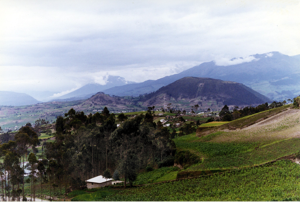
The Licto group of scoria cones lies along the Río Chambo ~25 km SE of the city of Riobamba and just north of the town of Licto. These three basaltic andesite to andesitic cones form the southernmost area of Quaternary volcanism in the Interandean valley of Ecuador. The Cerro Tulabug cone is the largest, with Loma Bellavista ~2 km SE and Licto, the smallest, ~1 km down the WNW flank. The group was considered to be of late Pleistocene or Holocene age (Hall, 1987, pers. comm; Eissen, 2006, pers. comm.) based on the relatively youthful morphology of the cones.
From Wikipedia
This summary is short — open the full article for more detail.
Licto is a volcanic field in Ecuador, close to the town of Licto.
Wikipedia · CC BY-SA · Read full article →
Eruption history
Detailed timeline
No eruption records available.
External links
⚠ For reference only. Not for emergency response.