Fueguino
Lava dome · Chile · 157m
- Type
- Lava dome
- Country
- Chile
- Region
- South America / Austral Andean Volcanic Arc
- Elevation
- 157m
- Coordinates
- -54.970, -70.262
- Last eruption
- 1820
- Tectonic setting
- Subduction zone / Continental crust (> 25 km)
- Landform
- Minor (Silicic)
- Major rock type
- Andesite / Basaltic Andesite
Geological summary
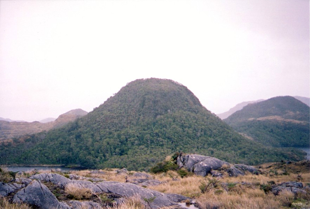
A group of andesitic, columnar-jointed lava domes and pyroclastic cones up to 150 m high on Isla Cook mark the southernmost Holocene volcanoes of the Andes. The volcanoes, known as Volcán Cook or Volcán Fueguino, occupy a broad peninsula forming the SE end of the island. One of the cones, S of Bahía del Volcán, contains a 150-m-wide crater with a small lake. The lava domes and pyroclastic cones, possibly emplaced along N-S-trending faults, are unaffected by glacial erosion that scoured the underlying plutonic rocks. Passing navigators observed possible eruptive activity in the direction of Cook in 1712 and the eruption of incandescent ejecta in 1820.
From Wikipedia
Fueguino is a volcanic field in Chile. The southernmost volcano in the Andes, it lies on Tierra del Fuego's Cook Island and also extends over nearby Londonderry Island. The field is formed by lava domes, pyroclastic cones, and a crater lake.
Wikipedia · CC BY-SA · Read full article →
Eruption history
Detailed timeline
- 1820VEI 2Observed1820-11-25 – 1820-11-26
- 1712VEI ?Geological estimate1712-11-26 – Ongoing
External links
⚠ For reference only. Not for emergency response.