Thordarhyrna
Stratovolcano · Iceland · 1650m
- Type
- Stratovolcano
- Country
- Iceland
- Region
- Atlantic Ocean / Iceland Neovolcanic Rift Volcanic Province
- Elevation
- 1650m
- Coordinates
- 64.267, -17.617
- Last eruption
- 1904
- Tectonic setting
- Rift zone / Oceanic crust (< 15 km)
- Landform
- Composite
Geological summary
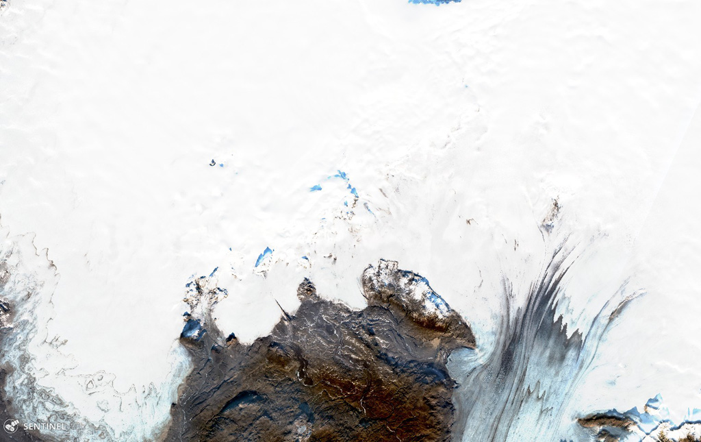
The Þórðarhyrna central volcano has been moderately active during the Holocene, with the last eruption occurring in 1903 CE. It is the second and less active central volcano of the Grímsvötn-Laki volcanic system, located about 20 km SW of the more active Grímsvötn central volcano and connected to it by a subglacial mountain ridge. The volcano has a diameter of 15 km, and is covered by ice 100-600 m thick within the Vatnajökull glacier. The last eruption occurred in 1903 CE. The recent activity has been explosive (phreatomagmatic) basaltic eruptions with tephra volumes ranging from 0.01-1 km3, but several rhyolitic nunataks characterize this volcano. Eruptions are accompanied by jökulhlaups. Being the only second central volcano on a volcanic system with considerable historical volcanic activity, Þórðarhyrna is treated as an independent volcano although the fissure swarm events are shared with the Grímsvötn system.
From Wikipedia
Thordarhyrna is one of seven subglacial volcanoes beneath the Vatnajokull glacier in Iceland. It is a paired active central volcano with Grímsvötn, and can be classified as part of the Grímsvötn-Laki volcanic system, with common fissure swarms to the south.
Wikipedia · CC BY-SA · Read full article →
Eruption history
Detailed timeline
- 1902VEI 4Observed1902-12-16 – 1904-01-12Grímsvötn and Thordarhyrna
- 1887VEI 2Observed1887-08-15 – 1889-07-02Thordarhyrna
- 1823VEI 2Observed1823-02-04 – OngoingGrímsvötn-Thordarhyrna
External links
⚠ For reference only. Not for emergency response.