Young Island
Stratovolcano · Antarctica · 1340m
- Type
- Stratovolcano
- Country
- Antarctica
- Region
- Antarctic & Scotia / Balleny Hotspot Volcano Group
- Elevation
- 1340m
- Coordinates
- -66.420, 162.470
- Last eruption
- Unknown
- Tectonic setting
- Rift zone / Oceanic crust (< 15 km)
- Landform
- Composite
- Major rock type
- Trachybasalt / Tephrite Basanite
Geological summary
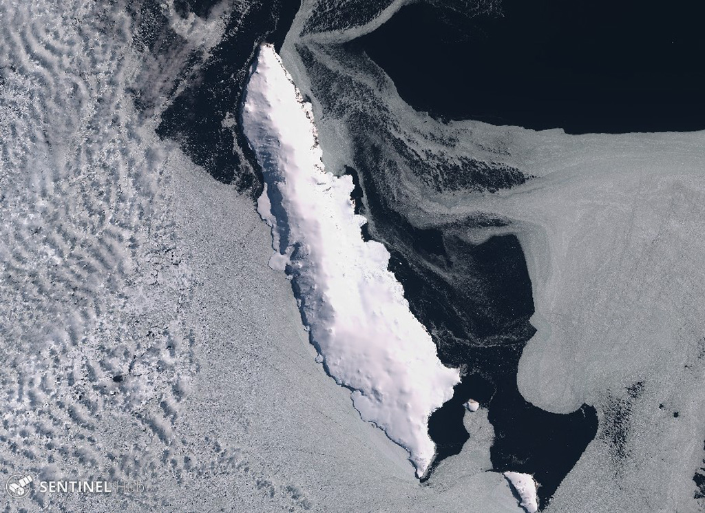
Young Island is the northernmost and second largest of the Balleny Islands off the coast of Antarctica's Victoria Land. Captain Balleny, the discoverer of the islands, reported "smoke" issuing from Freeman Peak on Young Island on 12 February 1839. The island, almost completely mantled by ice, has a broad plateau-like summit reaching 1340 m.
From Wikipedia
Young Island is the northernmost and westernmost of the three main islands in the uninhabited Balleny Islands group located in the Southern Ocean. It lies 8 kilometres (5.0 mi) northwest of Buckle Island, some 115 kilometres (71 mi) north-northeast of Belousov Point on the Antarctic mainland.
Wikipedia · CC BY-SA · Read full article →
Eruption history
Detailed timeline
No eruption records available.
External links
⚠ For reference only. Not for emergency response.