Liado
Liado Hayk
Campo volcánico · Ethiopia · 878 m
- Tipo
- Campo volcánico
- País
- Ethiopia
- Región
- África Oriental / Main Ethiopian Rift Volcanic Province
- Altitud
- 878 m
- Coordenadas
- 9.570, 40.280
- Última erupción
- Desconocido
- Contexto tectónico
- Rift zone / Continental crust (> 25 km)
- Forma volcánica
- Cluster
- Roca principal
- No Data (checked)
Resumen geológico
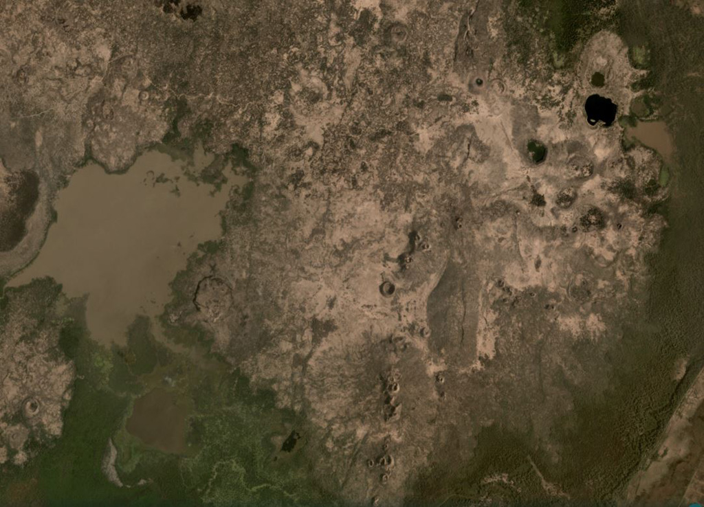
The Liado Hayk (Liado Lake) volcanic field consists of a dozen closely spaced maars and cinder cones with associated lava fields in the Awash plain NE of Dofen volcano. The morphology of the cones and maars suggested a late Pleistocene or Holocene age (Wood, 1979 p.c.).
Historial de erupciones
Línea de tiempo detallada
No hay registros de erupciones disponibles.
Enlaces externos
- Todavía no está en Wikipedia (Español). Puede contribuir en Wikidata.
- 🔗 Página original del Smithsonian GVP
⚠ Solo como referencia. No apto para respuesta ante emergencias.