Harras de Dhamar
Dhamar, Harras of
Campo volcánico · Yemen · 3500 m
- Tipo
- Campo volcánico
- País
- Yemen
- Región
- Arabia y Asia Central / Southwest Arabia Volcanic Province
- Altitud
- 3500 m
- Coordenadas
- 14.570, 44.670
- Última erupción
- Desconocido
- Contexto tectónico
- Intraplate / Continental crust (> 25 km)
- Forma volcánica
- Cluster
- Roca principal
- Basalt / Picro-Basalt
Resumen geológico
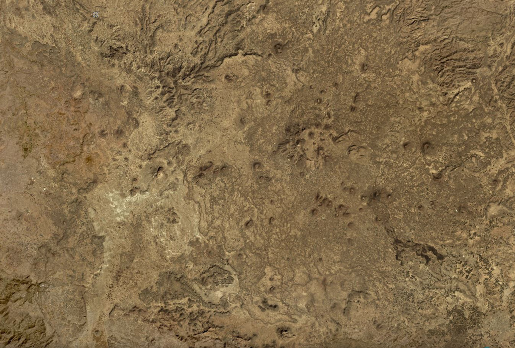
The lava fields surrounding the town of Dhamar are part of a volcanic field extending 80 km E that includes several stratovolcanoes and many youthful volcanic cones. Basaltic lava flows overlie older rhyolitic flows. Residents near Dhamar "spoke of a volcanic eruption that must have taken place in 1937 near the town" (von Wissmann, 1942; Rathjens and von Wissmann, 1942; cited in Neumann van Padang, 1963); this supposed activity has not been confirmed, located, or described by later work.
Historial de erupciones
Resumen (VEI en el tiempo)
Haga clic en una barra para ver erupciones individuales
Línea de tiempo detallada
- 1937VEI 2Observado1937-07-02 – En cursoNear the town of Dhamar
Enlaces externos
⚠ Solo como referencia. No apto para respuesta ante emergencias.