Harra es-Sawad
Sawad, Harra Es-
Campo volcánico · Yemen · 1737 m
- Tipo
- Campo volcánico
- País
- Yemen
- Región
- Arabia y Asia Central / Southwest Arabia Volcanic Province
- Altitud
- 1737 m
- Coordenadas
- 13.580, 46.120
- Última erupción
- 1253
- Contexto tectónico
- Intraplate / Continental crust (> 25 km)
- Forma volcánica
- Cluster
- Roca principal
- Trachybasalt / Tephrite Basanite
Resumen geológico
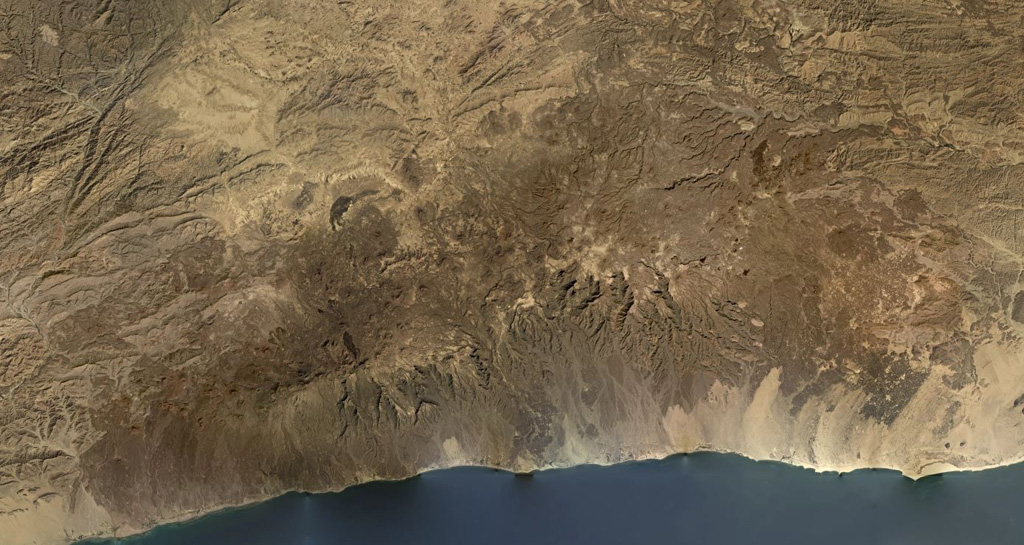
The Harra es-Sawâd (or Shuqra) volcanic field in southern Yemen extends for nearly 100 km along the Gulf of Aden, east of the city of Shuqra (Shaqra). The field is oriented WSW-ENE and contains about a hundred cones that have sent lava flows across a 40 x 95 km area of faulted basement limestones. Most of the volcanic field is Holocene in age (Cox et al., 1977), and in many cases the flows and cones are essentially uneroded. The only recorded event was a major, but poorly documented, eruption in 1253 CE.
Resumen de Wikipedia
Resumen en inglésHarra es-Sawad, or the "Shuqra Volcanic Field", is a large trachybasaltic volcanic field that runs along the Gulf of Aden. Nearby is the city of Shuqrah.
Wikipedia · CC BY-SA · Leer artículo completo →
Historial de erupciones
Línea de tiempo detallada
- 1253VEI 3Observado1253 – En curso
Enlaces externos
⚠ Solo como referencia. No apto para respuesta ante emergencias.