Pico Mawson
Heard
Estratovolcán · Australia · 2745 m
- Tipo
- Estratovolcán
- País
- Australia
- Región
- Somalia y Antártida / Kerguelen Hotspot Volcano Group
- Altitud
- 2745 m
- Coordenadas
- -53.106, 73.513
- Última erupción
- 2026
- Contexto tectónico
- Intraplate / Oceanic crust (< 15 km)
- Forma volcánica
- Composite
- Roca principal
- Trachybasalt / Tephrite Basanite
Resumen geológico
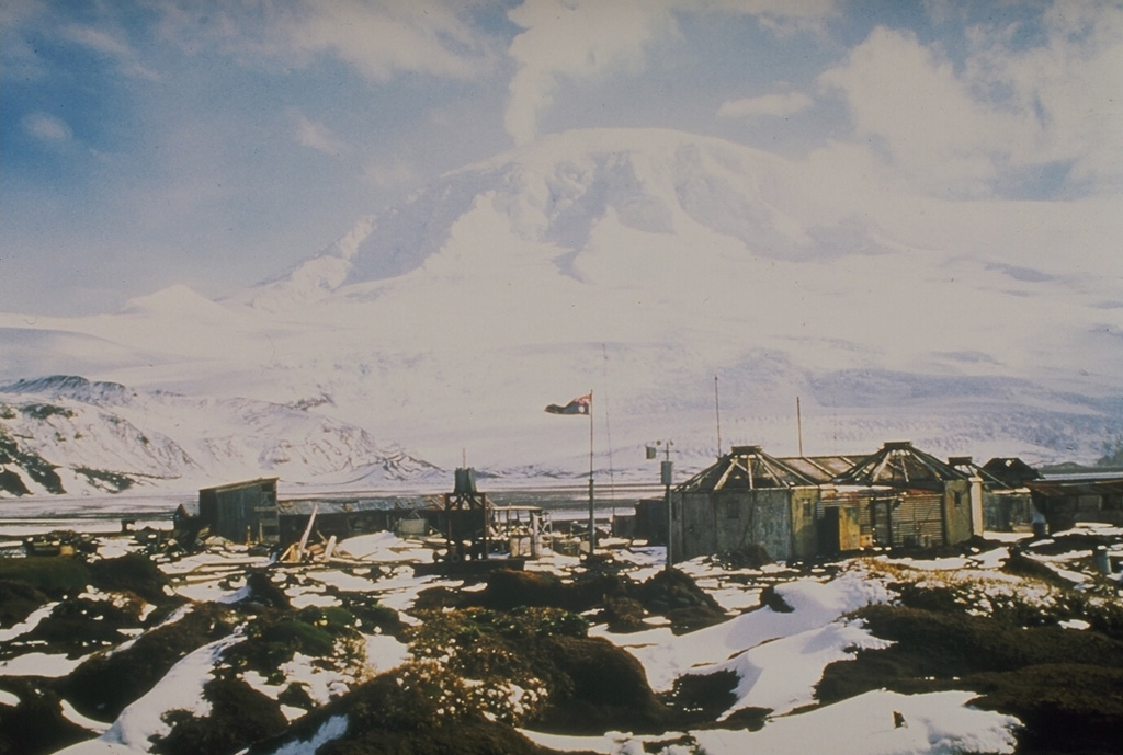
Heard Island on the Kerguelen Plateau in the southern Indian Ocean consists primarily of the emergent portion of two volcanic structures. The large glacier-covered composite basaltic-to-trachytic cone of Big Ben comprises most of the island, and the smaller Mt. Dixon lies at the NW tip of the island across a narrow isthmus. Little is known about the structure of Big Ben because of its extensive ice cover. The active Mawson Peak forms the island's high point and lies within a 5-6 km wide caldera breached to the SW side of Big Ben. Small satellitic scoria cones are mostly located on the northern coast. Several subglacial eruptions have been reported at this isolated volcano, but observations are infrequent and additional activity may have occurred.
Historial de erupciones
Línea de tiempo detallada
- 2012VEI 0Observado2012-09-05 – 2026-03-16Mawson Peak
- 2006VEI 0Observado2006-03-11 – 2008-03-03Mawson Peak
- 2003VEI 0Observado2003-06-09 – 2004-06-14Mawson Peak
- 2000VEI 2Observado2000-03-07 – 2001-02-16Mawson Peak and upper south flank
- 1993VEI 2Observado1993-01-02 – En cursoMawson Peak
- 1992VEI ?Estimación geológica1992-01-17 – 1992-01-18Mawson Peak
- 1992VEI 0Observado1992-05-29 – En cursoMawson Peak
- 1985VEI 2Observado1985-01-14 – 1987-01-16Mawson Peak
- 1954VEI 2Observado1954-04-13 – 1954-06-13Mawson Peak
- 1953VEI 2Observado1953-08-20 – 1953-11-18Mawson Peak
- 1950VEI 2Observado1950-01-24 – 1952-03-12Mawson Peak
- 1910VEI 2Observado1910-03-16 – 1910-04-16Mawson Peak
- 1881VEI 2Estimación geológica1881-06-02 – En curso
Enlaces externos
⚠ Solo como referencia. No apto para respuesta ante emergencias.