Curacoa volcano
Curacoa
Volcán complejo · Tonga · 33 m (submarino)
- Tipo
- Volcán complejo
- País
- Tonga
- Región
- Tonga y Kermadec / Tofua Volcanic Arc
- Altitud
- 33 m (submarino)
- Coordenadas
- -15.620, -173.670
- Última erupción
- 1979
- Contexto tectónico
- Subduction zone / Oceanic crust (< 15 km)
- Forma volcánica
- Composite
- Roca principal
- Dacite
Resumen geológico
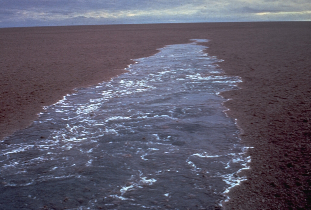
A submarine volcano south of Curacoa Reef at the northern end of the Tofua volcanic arc was first observed in eruption in 1973. Explosive eruptions, which produced large rafts of dacitic pumice, covering an area of more than 100 km2, were observed from the island of Tafahi, 27 km SSW. The eruption site was located about 6.5 km SW of Curacoa Reef. Multiple submarine vents are apparently located in this area; a second eruption was reported in 1979 from a location 13 km N of Tafahi.
Resumen de Wikipedia
Resumen en inglésCuracoa is a submarine volcano located south of the Curacoa Reef in northern Tonga. The reef is 24km North of Tafahi in the Niua Islands. Eruptions were observed in 1973 and 1979 from two separate vents. The 1973 eruption produced a large raft of dacitic pumice, and had a volcanic explosivity index (VEI) of 3.
Wikipedia · CC BY-SA · Leer artículo completo →
Historial de erupciones
Línea de tiempo detallada
- 1979VEI 1Observado1979-05-14 – En curso13 km north of Tafahi
- 1973VEI 3Observado1973-07-11 – 1973-07-166.4 km SW of Curacoa Reef
Enlaces externos
⚠ Solo como referencia. No apto para respuesta ante emergencias.