Managlase Plateau
Campo volcánico · Papua New Guinea · 1342 m
- Tipo
- Campo volcánico
- País
- Papua New Guinea
- Región
- Pacífico Suroccidental / Trobriand Volcanic Province
- Altitud
- 1342 m
- Coordenadas
- -9.080, 148.330
- Última erupción
- Desconocido
- Contexto tectónico
- Subduction zone / Continental crust (> 25 km)
- Forma volcánica
- Cluster
- Roca principal
- Trachybasalt / Tephrite Basanite
Resumen geológico
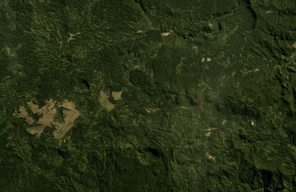
Thirty small volcanic centers of late-Pleistocene to Holocene age are located in SE Papua New Guinea on the Managlase Plateau, south of the Hydrographers Range and SW of the Dyke Ackland Bay. The fault-bounded plateau forms a triangular-shaped area with trachybasaltic lava cones and flows, scoria mounds, cinder cones, and explosion vents of the Uoivi Volcanics, and capped on its eastern side by rhyodacitic ash cones, lava domes, and ashflow deposits of the Manna Volcanics. The date of the most recent eruption is not known, but the trachybasaltic Kururui cinder cone and a nearby explosion crater were active within memory of nearby residents (Ruxton, 1966).
Historial de erupciones
Línea de tiempo detallada
No hay registros de erupciones disponibles.
Enlaces externos
- Todavía no está en Wikipedia (Español). Puede contribuir en Wikidata.
- 🔗 Página original del Smithsonian GVP
⚠ Solo como referencia. No apto para respuesta ante emergencias.