Iamalele
Domo de lava · Papua New Guinea · 194 m
- Tipo
- Domo de lava
- País
- Papua New Guinea
- Región
- Pacífico Suroccidental / Trobriand Volcanic Province
- Altitud
- 194 m
- Coordenadas
- -9.506, 150.524
- Última erupción
- Desconocido
- Contexto tectónico
- Subduction zone / Continental crust (> 25 km)
- Forma volcánica
- Cluster
- Roca principal
- Andesite / Basaltic Andesite
Resumen geológico
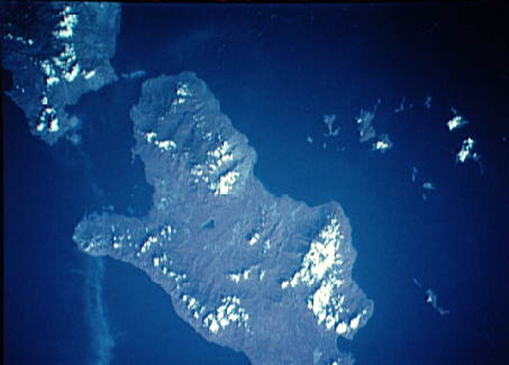
Multiple volcanic features and active thermal areas are located on the SW part of Fergusson Island, in the center of the D'Entrecasteaux island group. The Iamalele-Fagululu area contains a series of lava domes and lava flows of probable Holocene age in association with abundant hot springs and fumaroles (Smith, 1981). Two small lava domes are located near Fagululu village, the larger of which is a flat-topped, obsidian-bearing rhyolitic dome. Six other lava domes are clustered around Salt Lake on the W side of the area. Hot springs, boiling springs, fumaroles, and mud pools are found in an area of siliceous sinter near Iamalele village.
Historial de erupciones
Línea de tiempo detallada
No hay registros de erupciones disponibles.
Enlaces externos
- Todavía no está en Wikipedia (Español). Puede contribuir en Wikidata.
- 🔗 Página original del Smithsonian GVP
⚠ Solo como referencia. No apto para respuesta ante emergencias.