Traitor's Head
Estratovolcán · Vanuatu · 817 m
- Tipo
- Estratovolcán
- País
- Vanuatu
- Región
- Pacífico Suroccidental / Vanuatu Volcanic Arc
- Altitud
- 817 m
- Coordenadas
- -18.754, 169.238
- Última erupción
- 1881
- Contexto tectónico
- Subduction zone / Intermediate crust (15-25 km)
- Forma volcánica
- Composite
- Roca principal
- Basalt / Picro-Basalt
Resumen geológico
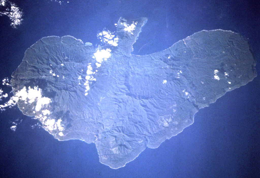
The Traitor's Head peninsula north of Cook Bay on eastern Erromango Island is comprised of three Holocene volcanic cones that are the youngest on the 50-km-long island. Mounts Rantop, Nagat, and Oulenou are small basaltic-to-andesitic stratovolcanoes with well-preserved morphologies. Rantop is the largest, but Oulenou is the most youthful looking, with an unbreached crater. A low plateau to the NW is underlain by ash deposits distributed by southeasterly trade winds. The volcanoes initially formed an offshore island that was joined to the mainland by uplift after volcanism ceased. A submarine vent offshore between the tip of the peninsula and Goat Island, 5 km to the NE, erupted in 1881, the only recorded activity of the Erromango volcanoes.
Historial de erupciones
Línea de tiempo detallada
- 1959VEI ?Estimación geológica1959-07-02 – En cursoFour submarine vents N of Erromango
- 1881VEI 0Observado1881-07-02 – En cursoNE flank submarine vent
Enlaces externos
- Todavía no está en Wikipedia (Español). Puede contribuir en Wikidata.
- 🔗 Página original del Smithsonian GVP
⚠ Solo como referencia. No apto para respuesta ante emergencias.