Ililabalekan
Estratovolcán · Indonesia · 1018 m
- Tipo
- Estratovolcán
- País
- Indonesia
- Región
- Sunda y Banda / Sunda Volcanic Arc
- Altitud
- 1018 m
- Coordenadas
- -8.550, 123.380
- Última erupción
- Desconocido
- Contexto tectónico
- Subduction zone / Crustal thickness unknown
- Forma volcánica
- Composite
- Roca principal
- Basalt / Picro-Basalt
Resumen geológico
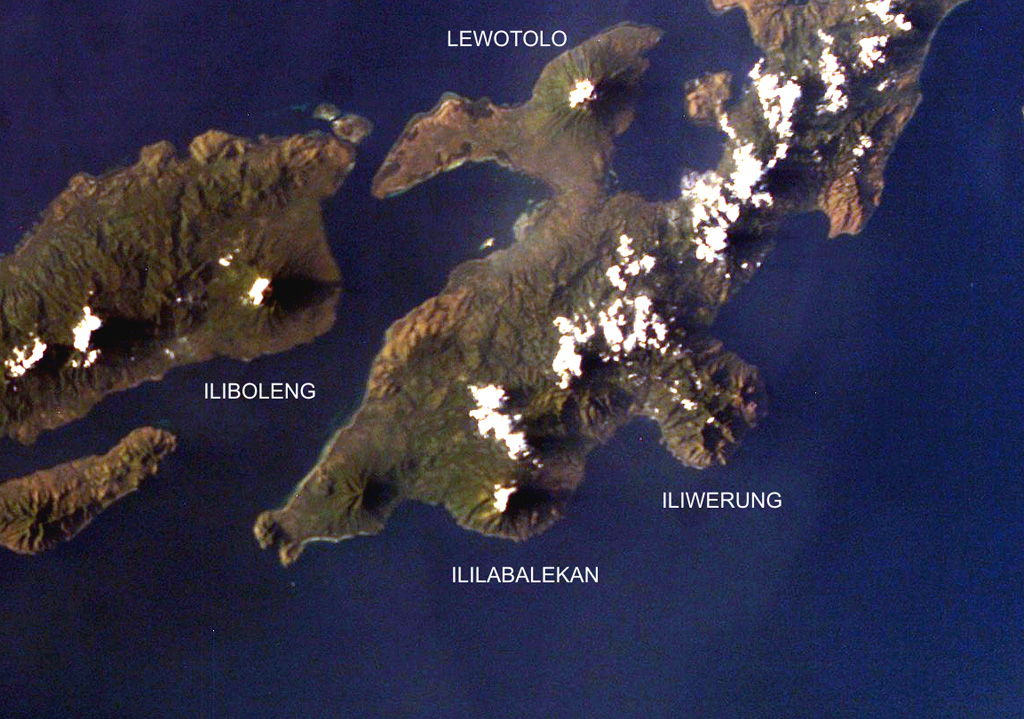
Ililabalekan volcano is situated on a prominent peninsula in SW Lembata (formerly Lomblen) Island. A satellitic cone was constructed on the SE flank of the steep-sided volcano. Four craters, one of which contains a lava dome and two small explosion pits, occur at the summit of Mount Labalekan. No historical eruptions are known from the volcano, although fumaroles are found near its summit.
Historial de erupciones
Línea de tiempo detallada
No hay registros de erupciones disponibles.
Enlaces externos
⚠ Solo como referencia. No apto para respuesta ante emergencias.