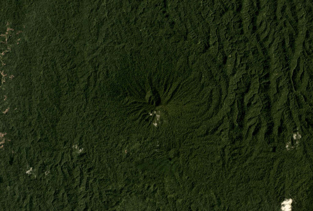
Saltar al contenido principal

Tobaru

Estratovolcán · Indonesia · 1035 m

The vegetated Tobaru volcano in western North Maluku, Indonesia, is in the center of this November 2019 Planet Labs satellite image monthly mosaic (N is at the top; this image is approximately 12 km across). There is a possible flank collapse scarp on the western flank.
The vegetated Tobaru volcano in western North Maluku, Indonesia, is in the center of this November 2019 Planet Labs satellite image monthly mosaic (N is at the top; this image is approximately 12 km across). There is a possible flank collapse scarp on the western flank. · Foto: Satellite image courtesy of Planet Labs Inc., 2019 (https://www.planet.com/).
Tipo
Estratovolcán
País
Indonesia
Región
Western Pacific Volcanic Regions / Halmahera Volcanic Arc
Altitud
1035 m
Coordenadas
1.630, 127.670
Última erupción
Desconocido
Contexto tectónico
Subduction zone / Oceanic crust (< 15 km)
Forma volcánica
Composite
Roca principal
Andesite / Basaltic Andesite
Resumen geológico

Gunung Tobaru, also known as Lolodai, is located in northern Halmahera WSW of Dukono and NNE of Ibu. Supriatna (1980) mapped the little known andesitic volcano as Holocene.

Resumen de Wikipedia

Resumen en inglés

Mount Tobaru or Mount Lolodai is located in the northern part of Halmahera island, west of Dukono volcano. Little is known about this volcano because of its remote location.

Wikipedia · CC BY-SA · Leer artículo completo

Historial de erupciones

Línea de tiempo detallada

No hay registros de erupciones disponibles.

Enlaces externos

⚠ Solo como referencia. No apto para respuesta ante emergencias.