Monte Hiri
Hiri
Estratovolcán · Indonesia · 687 m
- Tipo
- Estratovolcán
- País
- Indonesia
- Región
- Pacífico Occidental / Halmahera Volcanic Arc
- Altitud
- 687 m
- Coordenadas
- 0.897, 127.317
- Última erupción
- Desconocido
- Contexto tectónico
- Subduction zone / Oceanic crust (< 15 km)
- Forma volcánica
- Composite
- Roca principal
- Basalt / Picro-Basalt
Resumen geológico
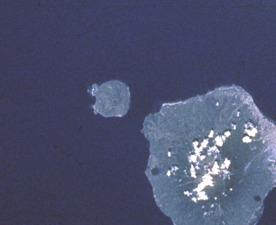
Hiri is a 3-km-wide forested island immediately north of Gamalama on Ternate Island, and is the northernmost of a chain of volcanic islands off the western coast of Halmahera. Two conical volcanic edifices are present within a larger caldera open to the W. Apandi and Sudana (1980) mapped it as Holocene in age, but no eruptions have been dated or reported.
Resumen de Wikipedia
Monte Hiri es una pequeña isla boscosa de 3 km de ancho al norte de la isla de Ternate, en las islas Molucas de Indonesia. Se encuentra en el extremo norte de una cadena de islas volcánicas de la costa occidental de Halmahera. Es además un volcán cónico que se eleva a 630 m. Al sur se encuentra el volcán más activo del área el Monte Gamalama, en la isla de Ternate.
Wikipedia · CC BY-SA · Leer artículo completo →
Historial de erupciones
Línea de tiempo detallada
No hay registros de erupciones disponibles.
Enlaces externos
⚠ Solo como referencia. No apto para respuesta ante emergencias.