Olkhovy Volcanic Group
Olkoviy-Ozernoy Volcanic Field
Campo volcánico · Russia · 681 m
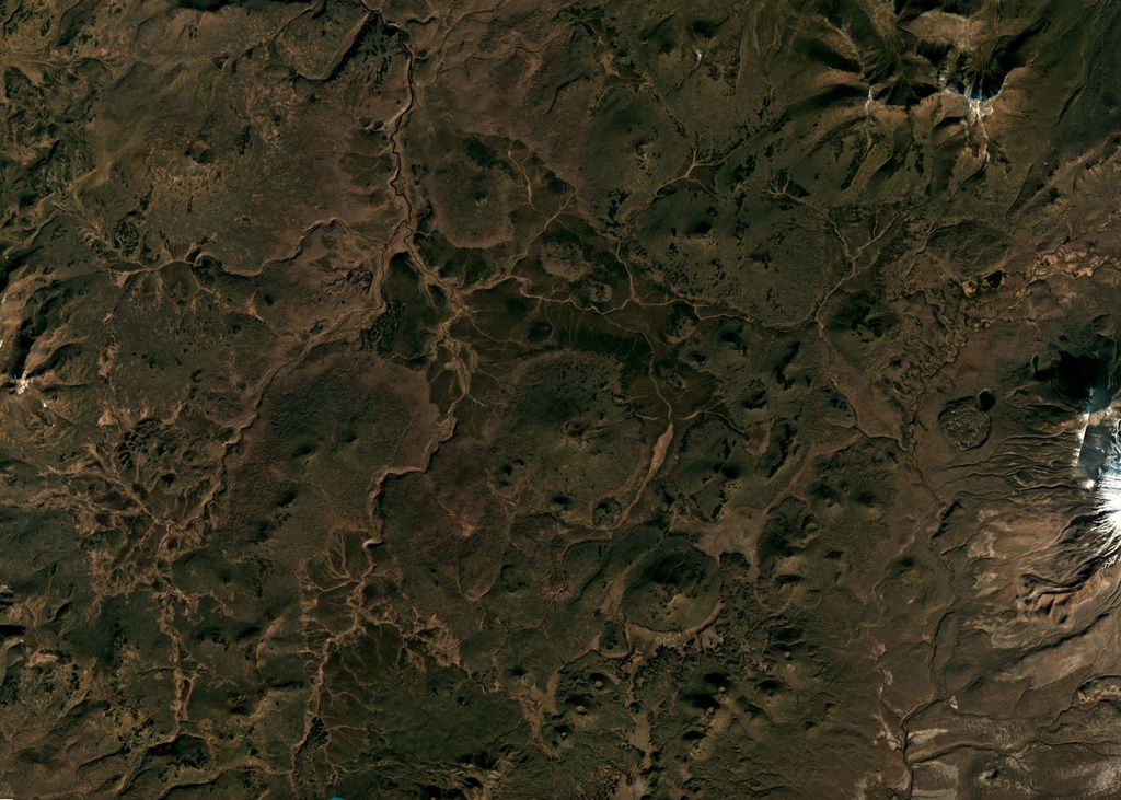
- Tipo
- Campo volcánico
- País
- Russia
- Región
- Pacífico Noroccidental / Kuril Volcanic Arc
- Altitud
- 681 m
- Coordenadas
- 52.020, 157.530
- Última erupción
- Desconocido
- Contexto tectónico
- Subduction zone / Continental crust (> 25 km)
- Forma volcánica
- Cluster
- Roca principal
- Basalt / Picro-Basalt
Resumen geológico
A large group of Quaternary basaltic pyroclastic cones and associated lava flows (Masurenkov, 1980) fills a topographic low W and NW of Ksudach and Khodutka volcanoes. The Pleistocene Plosky and Holocene Olkoviy small shields lie 13-16 km W of Khodutka. Masurenkov (1980) considered this volcanic field to be bounded by rivers on the E (Pravaya Khodutka) and S (Pravaya Khodutka), with Ozernoy listed as a separate small basaltic shield considered to be Holocene further SW. In their review of Holocene volcanoes in Kamchatka, Ponomareva et al. (2007) did not identify Ozernoy as a distinct major volcano, but did include an unnamed volcanic field in this area. This catalog, under the unofficial designation of Olkoviy-Ozernoy Volcanic Field, includes these small shields along with a large number of small cones and some maars, extending from the Krugloe maar (13 km W of Ksudach) to volcanic features ~50 km NE between older Pleistocene edifices (24 km NW of Khodutka).
Historial de erupciones
Línea de tiempo detallada
No hay registros de erupciones disponibles.
Enlaces externos
⚠ Solo como referencia. No apto para respuesta ante emergencias.