Kostakan
Cono piroclástico · Russia · 1150 m
- Tipo
- Cono piroclástico
- País
- Russia
- Región
- Pacífico Noroccidental / Eastern Kamchatka Volcanic Arc
- Altitud
- 1150 m
- Coordenadas
- 53.833, 158.052
- Última erupción
- 1350
- Contexto tectónico
- Subduction zone / Continental crust (> 25 km)
- Forma volcánica
- Minor (Basaltic)
- Roca principal
- Basalt / Picro-Basalt
Resumen geológico
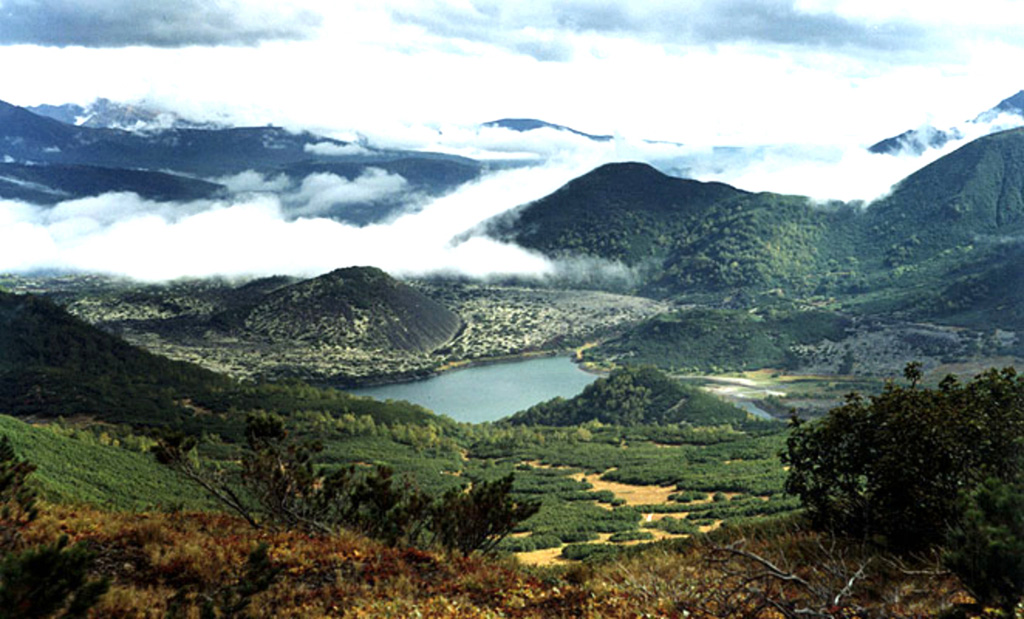
A group of basaltic cinder cones lies south of Bakening volcano, west of the Srednaya Avacha (Middle Avacha) river valley. They are part of a broad zone of regional late Pleistocene to Holocene basaltic volcanism west of the Eastern volcanic zone of Kamchatka that extends from the Kostakan Lake area to the south. Several of the cinder cones are breached by lava flows, some of which extend into the Srednaya Avacha valley. The highest-elevation vent, Zmeya crater, was constructed within a landslide scarp. An unnamed maar is located about 2 km S of Kostakan Lake. Eruptions have occurred during two time periods, between about 11,000 to 7,000 years ago and between about 1,200 and 600 years ago.
Resumen de Wikipedia
Resumen en inglésKostakan is a north-south trending chain of cinder cones located in the southern part of the Kamchatka Peninsula, Russia.
Wikipedia · CC BY-SA · Leer artículo completo →
Historial de erupciones
Línea de tiempo detallada
- 1350VEI 1Estimación geológica1350 – En cursoGlavny
- 1200 (±50 años)VEI 2Estimación geológica1200 – En cursoGlavny
- 1000 (±50 años)VEI 3Estimación geológica1000 – En cursoSerpovidny
- 800 (±50 años)VEI 3Estimación geológica800 – En cursoMaar S of Lake Kostakan, Krasny cone
- 6550 a. C. (±500 años)VEI 3Estimación geológicaBCE 6550 – En cursoOchkovy
- 8050 a. C. (±1000 años)VEI 3Estimación geológicaBCE 8050 – En cursoDomashnii
Enlaces externos
⚠ Solo como referencia. No apto para respuesta ante emergencias.