Grupo Volcánico Kunlun
Ashikule Volcanic Field
Campo volcánico · China · 5090 m
- Tipo
- Campo volcánico
- País
- China
- Región
- Asia Oriental / Northern Tibetan Plateau Volcanic Province
- Altitud
- 5090 m
- Coordenadas
- 35.742, 81.646
- Última erupción
- 1951
- Contexto tectónico
- Intraplate / Continental crust (> 25 km)
- Forma volcánica
- Cluster
- Roca principal
- Trachyte / Trachydacite
Resumen geológico
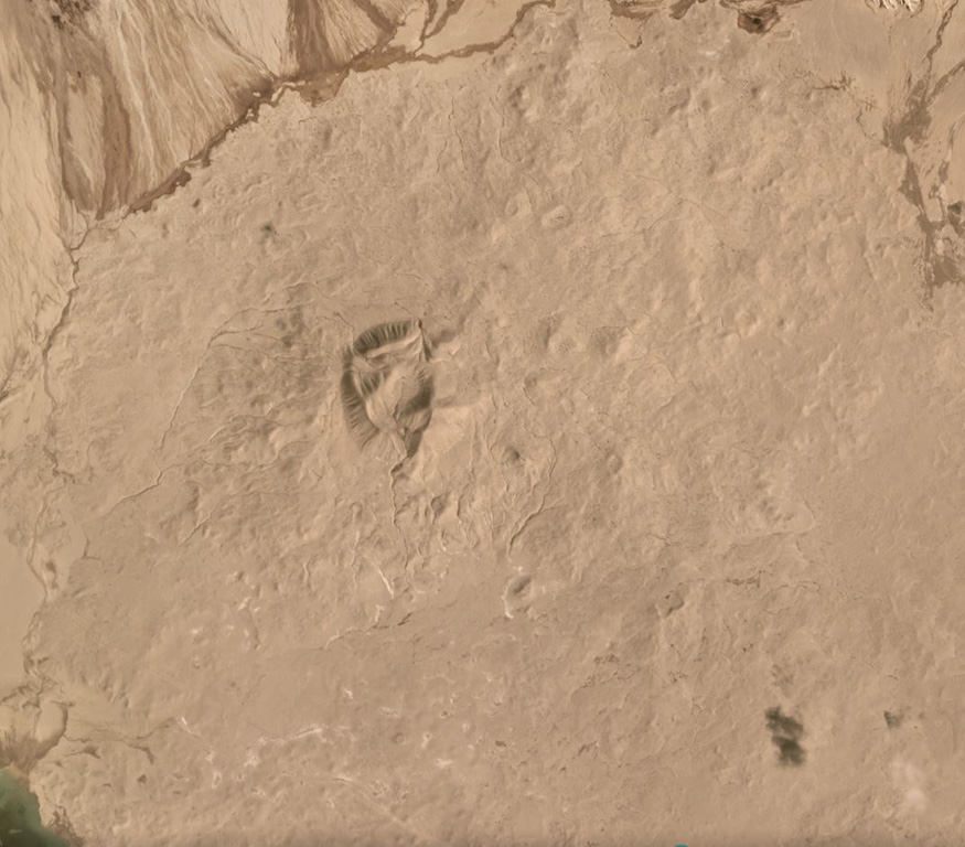
The Ashikule Volcanic Field contains 10 Pliocene to Holocene pyroclastic cones at the western end of the Kunlun Mountains. Several young trachyandesitic cones lie in the area around Ashi (Aqqikkol) and Wuluke (Ulugkol) lakes. China's most recent eruption was observed by a road-building crew on 27 May 1951, at the Ashishan (also known as Ka-er-daxi or Vulkan) cone. The eruption began with a loud detonation and ejected large blocks, emitting "smoke" for a number of days. An unconfirmed eruption was reported in the 19th century.
Resumen de Wikipedia
Resumen en inglésKunlun Volcanic Group, also known as Ashiköli Volcanic Field, is a volcanic field in northwestern Tibet. Eight other volcanic fields are also in the area. The field is within a basin that also contains three lakes.
Wikipedia · CC BY-SA · Leer artículo completo →
Historial de erupciones
Línea de tiempo detallada
- 1951VEI 2Observado1951-05-27 – En cursoAshi Shan
- 1850 (±50 años)VEI ?Estimación geológica1850-07-02 – En curso
Enlaces externos
⚠ Solo como referencia. No apto para respuesta ante emergencias.