Fort Selkirk volcanic field
Fort Selkirk
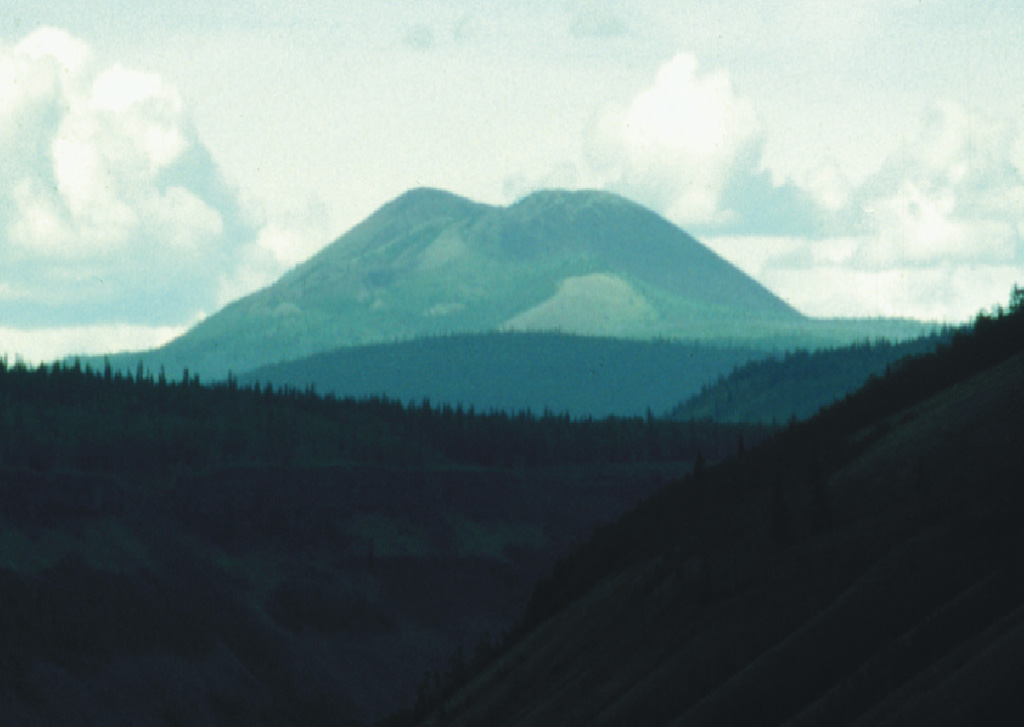
Campo volcánico · Canada · 1239 m
- Tipo
- Campo volcánico
- País
- Canada
- Región
- América del Norte / Northern Cordilleran Volcanic Province
- Altitud
- 1239 m
- Coordenadas
- 62.930, -137.380
- Última erupción
- Desconocido
- Contexto tectónico
- Intraplate / Continental crust (> 25 km)
- Forma volcánica
- Cluster
- Roca principal
- Trachybasalt / Tephrite Basanite
Resumen geológico
The Fort Selkirk volcanic field near the junction of the Yukon and Pelly rivers in central Yukon is the northernmost Holocene volcanic field in Canada. It consists of a sequence of valley filling alkaline olivine basalt and basanitic lava flows succeeded by construction of three nephelinitic pyroclastic cones and lava flow aprons. The Ne Ch'e Ddhawa pyroclastic cone (Wootten's Cone) is composed primarily of hyaloclastite tuffs, breccias, and pillow breccias erupted subglacially during the late Pleistocene (Jackson, 1989). The youngest cone, Volcano Mountain, produced young nephelinitic lava flows that remain unvegetated and appear to be only a few hundred years old. However, dating of sediments in a lake impounded by the lava flows indicated that the youngest flows could not be younger than mid-Holocene and could be early Holocene or older (Jackson and Stevens, 1992).
Resumen de Wikipedia
Resumen en inglésThe Fort Selkirk volcanic field is a monogenetic volcanic field in the Northern Cordilleran Volcanic Province, Yukon Territory, Canada. It is the northernmost Holocene age volcanic field in Canada, located close to the connection of the Yukon and Pelly rivers. The youngest eruptions within the field are unknown. However, the youngest volcano Volcano Mountain produced lava flows that appear to be only a few hundred years old.
Wikipedia · CC BY-SA · Leer artículo completo →
Historial de erupciones
Línea de tiempo detallada
No hay registros de erupciones disponibles.
Enlaces externos
⚠ Solo como referencia. No apto para respuesta ante emergencias.