Southern EPR-Segment J
Southern EPR at 18.2°S (Segment J)
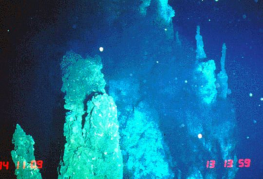
Fisura volcánica · Undersea Features · 2650 m (submarino)
- Tipo
- Fisura volcánica
- País
- Undersea Features
- Región
- Pacífico Sur / Southern East Pacific Rise Volcanic Province
- Altitud
- 2650 m (submarino)
- Coordenadas
- -18.175, -113.350
- Última erupción
- 1890
- Contexto tectónico
- Rift zone / Oceanic crust (< 15 km)
- Forma volcánica
- Cluster
- Roca principal
- Basalt / Picro-Basalt
Resumen geológico
The axial crest of Segment J of the Southern East Pacific Rise consists of an asymmetrical shallow graben varying from 250 to 600 m wide with walls about 20 m high. Horst and graben structures expose cooled lava lakes and both active and extinct hydrothermal chimneys. Basaltic lava flow fields, lava pillars, and pillow mounds are found on the floor of the graben. The largest lava flow field is the Moai lava flow at about 18°12'S. Two lava flows have been dated by paleomagnetic evidence at about 1820 and 1890 CE.
Historial de erupciones
Resumen (VEI en el tiempo)
Haga clic en una barra para ver erupciones individuales
Línea de tiempo detallada
- 1890VEI 0Estimación geológica1890-07-02 – En curso
- 1820VEI 0Estimación geológica1820-07-02 – En curso
Enlaces externos
- Todavía no está en Wikipedia (Español). Puede contribuir en Wikidata.
- 🔗 Página original del Smithsonian GVP
⚠ Solo como referencia. No apto para respuesta ante emergencias.