Southern EPR-Segment I
Southern EPR at 18.5°S (Segment I)
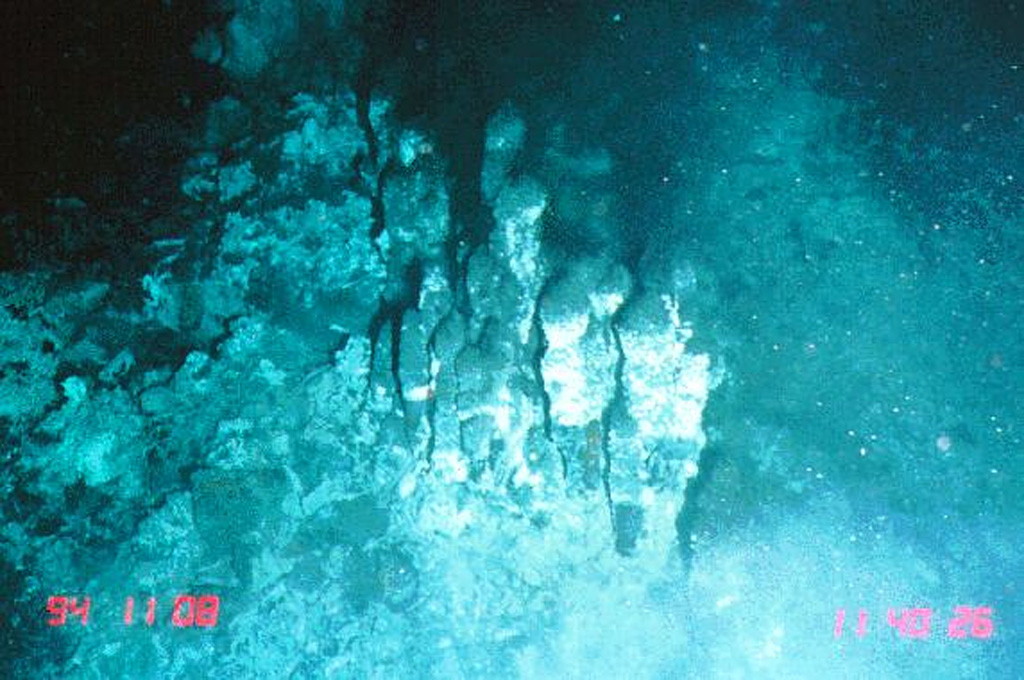
Fisura volcánica · Undersea Features · 2600 m (submarino)
- Tipo
- Fisura volcánica
- País
- Undersea Features
- Región
- Pacífico Sur / Southern East Pacific Rise Volcanic Province
- Altitud
- 2600 m (submarino)
- Coordenadas
- -18.530, -113.420
- Última erupción
- 1915
- Contexto tectónico
- Rift zone / Oceanic crust (< 15 km)
- Forma volcánica
- Cluster
- Roca principal
- Basalt / Picro-Basalt
Resumen geológico
The narrow axial crest of Segment I of the Southern East Pacific Rise in some places is less than 50 m wide. An axial dome is located along the southern part of the segment. The largest lava flow field in this segment is the Animal Farm flow, named after a thriving low-temperature hydrothermal site discovered during a submersible expedition in 1993. The Animal Farm lava flow was dated by magnetic paleointensity measurements at about 1880-1950 CE, and older flows were dated by similar techniques to the 17th and 19th centuries.
Historial de erupciones
Resumen (VEI en el tiempo)
Haga clic en una barra para ver erupciones individuales
Línea de tiempo detallada
- 1915 (±40 años)VEI 0Estimación geológica1915-07-02 – En curso
- 1860VEI 0Estimación geológica1860-07-02 – En curso
- 1620VEI 0Estimación geológica1620 – En curso
Enlaces externos
- Todavía no está en Wikipedia (Español). Puede contribuir en Wikidata.
- 🔗 Página original del Smithsonian GVP
⚠ Solo como referencia. No apto para respuesta ante emergencias.