Zitácuaro-Valle de Bravo
Zitacuaro-Valle de Bravo
Campo volcánico · Mexico · 3500 m
- Tipo
- Campo volcánico
- País
- Mexico
- Región
- América Central y Caribe / Trans-Mexican Volcanic Arc
- Altitud
- 3500 m
- Coordenadas
- 19.400, -100.250
- Última erupción
- -3050
- Contexto tectónico
- Subduction zone / Continental crust (> 25 km)
- Forma volcánica
- Cluster
- Roca principal
- Dacite
Resumen geológico
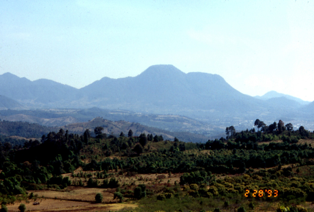
The Zitácuaro-Valle de Bravo volcanic field in the central part of the Trans-Mexican Volcanic Belt consists of a broad region of shield volcanoes, lava domes, and cinder cones surrounding the city of Heroica de Zitácuaro. The Zitácuaro volcanic complex itself, located SE of the city, was constructed within the 30-km-wide Las Tres Chicas caldera of Miocene age, which later underwent three post-caldera episodes of intra-caldera lava dome resurgence and included the intrusion of dacitic central lava domes, the emplacement of pyroclastic flows, and the eruption of andesitic lava flows. The youngest dated activity at the complex produced La Dieta airfall deposit about 31,000 years ago, and persistent local seismicity continues at Zitácuaro. The Valle de Bravo area to the south contains dominantly andesitic lava domes and flows, many of which were erupted along regional faults. The youngest flows were erupted at the bottom of a fault-controlled canyon; the most recent of these, west of the Valle de Bravo lake, has been Ar-Ar dated at about 5,200 +/- 2,300 years, and morphology suggests a Holocene age for other cones.
Historial de erupciones
Línea de tiempo detallada
- 3050 a. C. (±2000 años)VEI 0Estimación geológicaBCE 3050 – En cursoWest of Valle de Bravo
Enlaces externos
- Todavía no está en Wikipedia (Español). Puede contribuir en Wikidata.
- 🔗 Página original del Smithsonian GVP
⚠ Solo como referencia. No apto para respuesta ante emergencias.