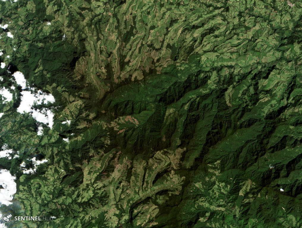
Romeral
Estratovolcán · Colombia · 3769 m
- Tipo
- Estratovolcán
- País
- Colombia
- Región
- América del Sur / Northern Andean Volcanic Arc
- Altitud
- 3769 m
- Coordenadas
- 5.203, -75.363
- Última erupción
- -5390
- Contexto tectónico
- Subduction zone / Continental crust (> 25 km)
- Forma volcánica
- Composite
- Roca principal
- Andesite / Basaltic Andesite
Resumen geológico
The andesitic-to-dacitic Romeral stratovolcano lies at the northern end of the Ruiz-Tolima volcanic chain, NW of Cerro Bravo volcano, and east of the towns of Neira and Aranzazu. It has produced two young Plinian pumice deposits covering areas to the NW. The pumice deposits are separated by a soil layer radiocarbon dated at about 8,460 and 7,340 years BP.
Resumen de Wikipedia
Resumen en inglésRomeral is a stratovolcano located in Caldas, Colombia. It is the northernmost Holocene volcano of South America, of the North Volcanic Zone in the Andean Volcanic Belt. The volcano was formed in the Late Pliocene, approximately 3 million years ago.
Wikipedia · CC BY-SA · Leer artículo completo →
Historial de erupciones
Línea de tiempo detallada
- 5390 a. C. (±350 años)VEI 4Estimación geológicaBCE 5390 – En curso
- 6510 a. C. (±200 años)VEI 4Estimación geológicaBCE 6510 – En curso
Enlaces externos
⚠ Solo como referencia. No apto para respuesta ante emergencias.