Isla Young
Young Island
Estratovolcán · Antarctica · 1340 m
- Tipo
- Estratovolcán
- País
- Antarctica
- Región
- Antártida y Scotia / Balleny Hotspot Volcano Group
- Altitud
- 1340 m
- Coordenadas
- -66.420, 162.470
- Última erupción
- Desconocido
- Contexto tectónico
- Rift zone / Oceanic crust (< 15 km)
- Forma volcánica
- Composite
- Roca principal
- Trachybasalt / Tephrite Basanite
Resumen geológico
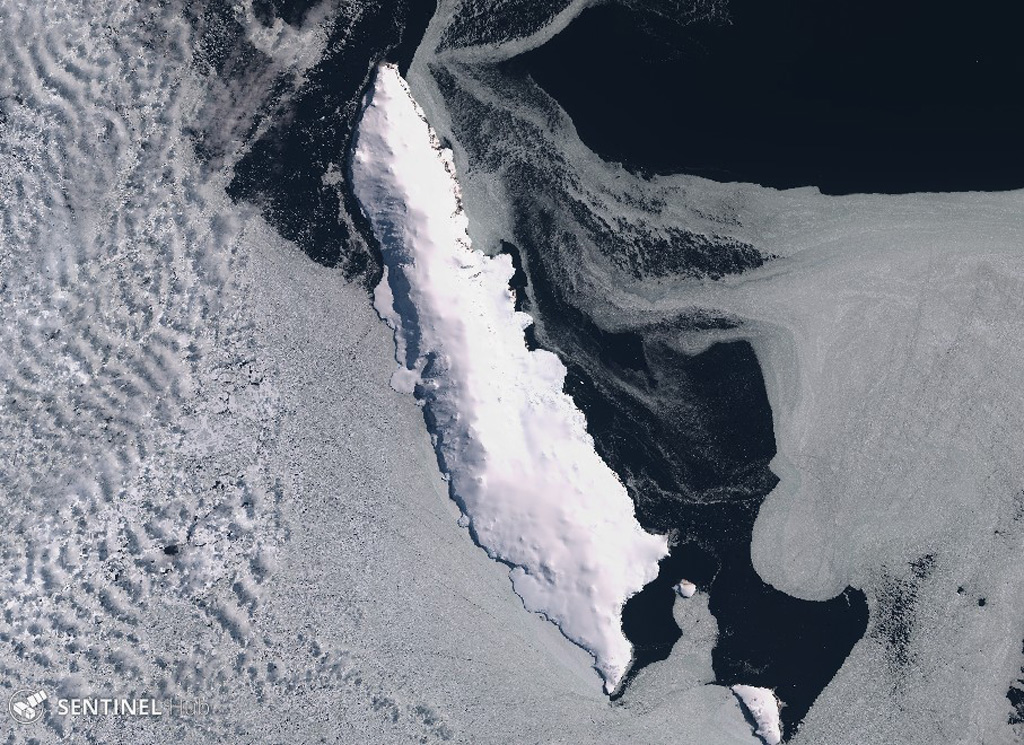
Young Island is the northernmost and second largest of the Balleny Islands off the coast of Antarctica's Victoria Land. Captain Balleny, the discoverer of the islands, reported "smoke" issuing from Freeman Peak on Young Island on 12 February 1839. The island, almost completely mantled by ice, has a broad plateau-like summit reaching 1340 m.
Resumen de Wikipedia
La isla Young es la más septentrional y la más occidental de las tres islas principales de las deshabitadas islas Balleny, el grupo está localizado en el océano Antártico. Está a 8 km al noroeste de la isla Buckle, y a unos 115 km al nornordeste del cabo Belousov sobre el continente Antártico.
Wikipedia · CC BY-SA · Leer artículo completo →
Historial de erupciones
Línea de tiempo detallada
No hay registros de erupciones disponibles.
Enlaces externos
⚠ Solo como referencia. No apto para respuesta ante emergencias.