Isla Sturge
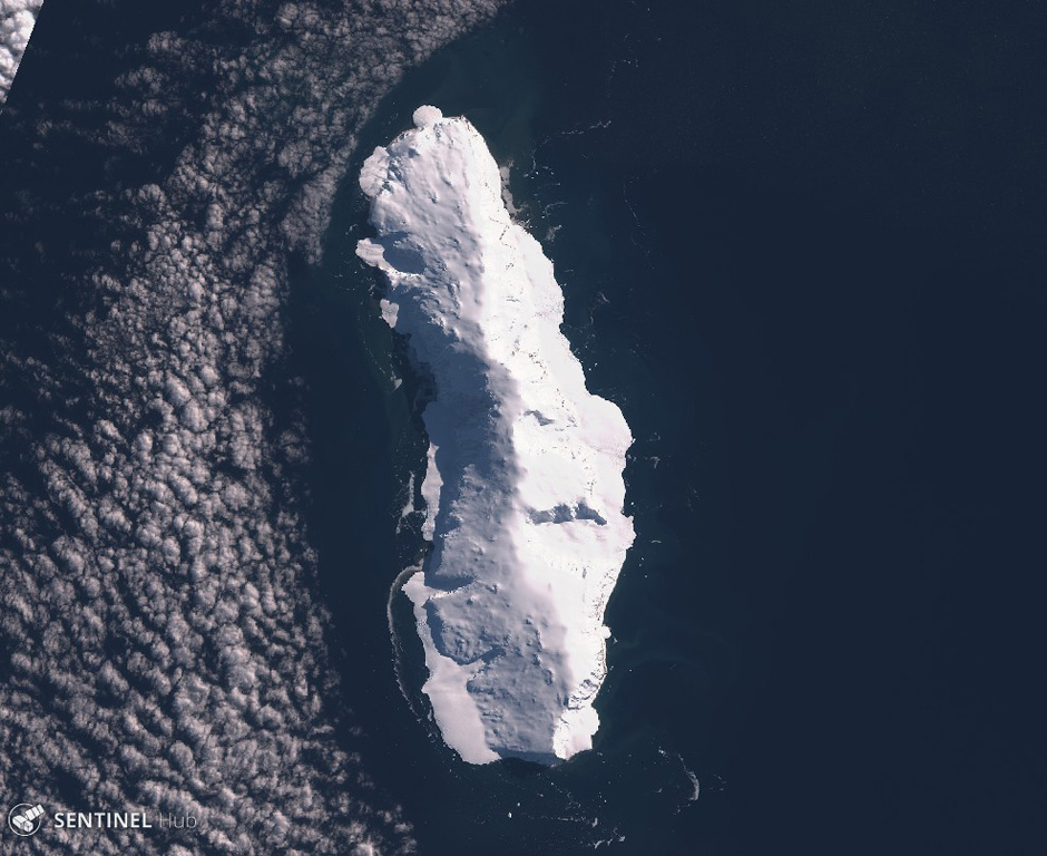
Sturge Island
Estratovolcán · Antarctica · 1167 m
- Tipo
- Estratovolcán
- País
- Antarctica
- Región
- Antártida y Scotia / Balleny Hotspot Volcano Group
- Altitud
- 1167 m
- Coordenadas
- -67.400, 164.830
- Última erupción
- Desconocido
- Contexto tectónico
- Rift zone / Oceanic crust (< 15 km)
- Forma volcánica
- Composite
- Roca principal
- Trachybasalt / Tephrite Basanite
Resumen geológico
Sturge is the largest and southernmost of the Balleny Islands, which are located just off the coast of Antarctica's Victoria Land. The 44-km-long island is completely mantled by an icecap and has a prominent summit, Russel Peak, at the northern end. "Volcanic activity" was reported on a U.S. Navy chart, but no indications of present or past activity were noted in 1959 (Catalog of Active Volcanoes of the World). No detailed geologic studies have been conducted in the inaccessible Balleny Islands.
Resumen de Wikipedia
La isla Sturge es una de las tres islas principales en las deshabitadas islas Balleny, el archipiélago está localizado en el océano Antártico. Está a 25 km al sudeste de la isla Buckle y 95 km al noreste del cabo Belousov sobre el continente Antártico. Las islas fueron descubiertas por John Balleny en 1839.
Wikipedia · CC BY-SA · Leer artículo completo →
Historial de erupciones
Línea de tiempo detallada
No hay registros de erupciones disponibles.
Enlaces externos
⚠ Solo como referencia. No apto para respuesta ante emergencias.