Liado
Liado Hayk
Medan gunung api · Ethiopia · 878 m
- Tipe
- Medan gunung api
- Negara
- Ethiopia
- Wilayah
- Afrika Timur / Main Ethiopian Rift Volcanic Province
- Ketinggian
- 878 m
- Koordinat
- 9.570, 40.280
- Letusan terakhir
- Tidak diketahui
- Kondisi tektonik
- Rift zone / Continental crust (> 25 km)
- Bentuk lahan
- Cluster
- Batuan utama
- No Data (checked)
Ringkasan geologi
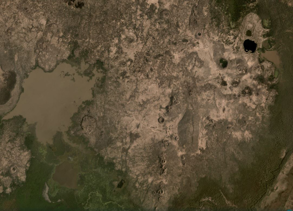
The Liado Hayk (Liado Lake) volcanic field consists of a dozen closely spaced maars and cinder cones with associated lava fields in the Awash plain NE of Dofen volcano. The morphology of the cones and maars suggested a late Pleistocene or Holocene age (Wood, 1979 p.c.).
Riwayat letusan
Garis waktu rinci
Tidak ada catatan letusan.
Tautan eksternal
- Belum ada di Wikipedia (Bahasa Indonesia). Anda dapat berkontribusi di Wikidata.
- 🔗 Halaman asli Smithsonian GVP
⚠ Untuk referensi saja. Bukan untuk tanggap darurat.