Dofan
Dofen
Gunung api perisai · Ethiopia · 1151 m
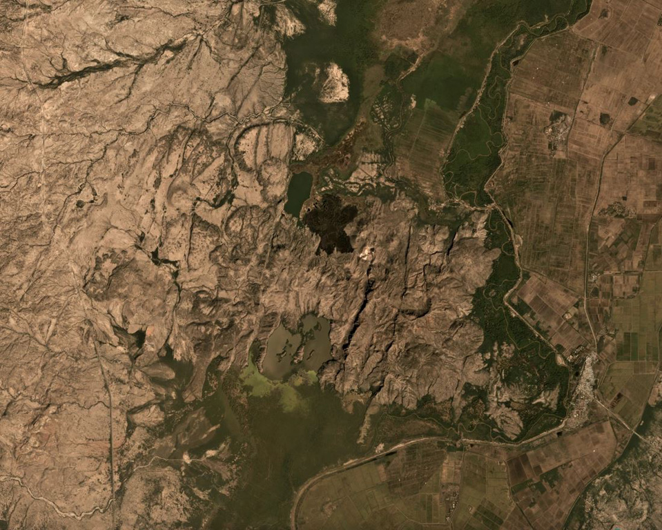
- Tipe
- Gunung api perisai
- Negara
- Ethiopia
- Wilayah
- Afrika Timur / Main Ethiopian Rift Volcanic Province
- Ketinggian
- 1151 m
- Koordinat
- 9.350, 40.130
- Letusan terakhir
- Tidak diketahui
- Kondisi tektonik
- Rift zone / Continental crust (> 25 km)
- Bentuk lahan
- Shield
- Batuan utama
- Rhyolite
Ringkasan geologi
The Dofen shield volcano rises 450 m above the Awash plain in the northern Main Ethiopian Rift. Numerous cinder cones, constructed along a 10-km-long, N-S-trending line, occur on the flanks of the dominantly rhyolitic volcano. The northern cones are younger, have well-preserved morphologies, and display strong fumarolic activity. A major fumarole in a wide S-flank crater has precipitated large amounts of sulfur. The latest eruptions occurred during the Holocene (WoldeGabriel 1987, pers. comm.), and it is known as the "smoking mountain".
Riwayat letusan
Garis waktu rinci
Tidak ada catatan letusan.
Tautan eksternal
⚠ Untuk referensi saja. Bukan untuk tanggap darurat.